Close


Home » Explore » Routes and itineraries » Hiking Trails » 3 – From the Spanish Fortress to Cala del Gesso
Start: Where Stone Tells the Story of the Sea
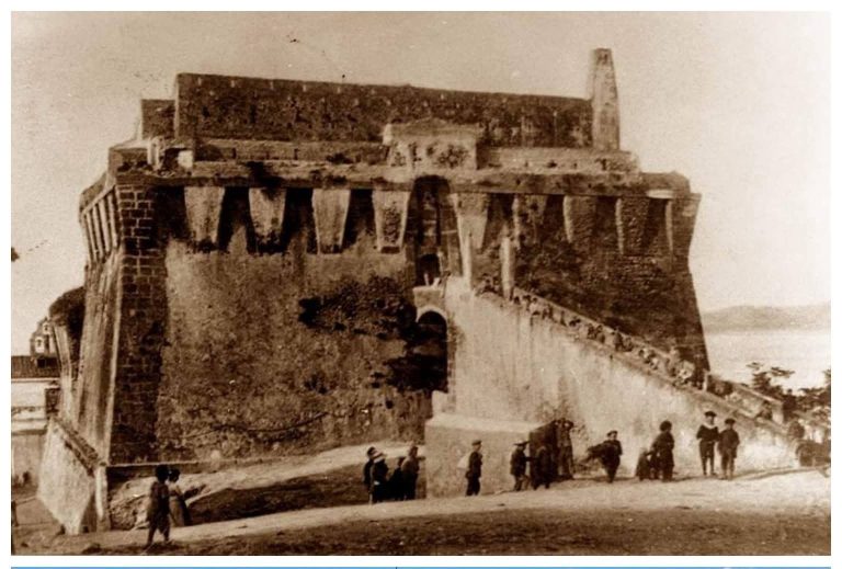
Opposite the Spanish Fortress and Governor’s Square
The route begins at the foot of one of the most recognizable landmarks of theArgentario: the Spanish Fortress, which overlooks the village of Porto Santo Stefano with its square mass of gray stone. The structure was built by the Spanish between the late 16th and early 17th centuries, after Porto Santo Stefano became part of the State of the Presidi — the system of coastal dominions through which the Spanish Crown controlled the central Tyrrhenian Sea. It was not the first building on that hill: the Sienese had already chosen that spot in the 15th century for their Tower of Santo Stefano, which was demolished by the Spanish to make way for something more imposing. Construction was completed in 1636 with modifications by the military engineer Pedro Álvarez. Over the centuries, the fortress withstood pirate raids and was reinforced by the the French during the Napoleonic era, and continued to serve military functions until World War II. Restored and opened to the public in 1997, it houses two permanent exhibitions: Master Shipwrights, dedicated to the craftsmen who for centuries have hand-built wooden boats for these seas, and Submerged Memories, which tells the story ofunderwater archaeology along the coast of the Maremma. Among the most surprising finds are eleven fragments of aulos — the ancient Greek wind instrument, similar to a double oboe made of ivory and boxwood — recovered from the seabed of the Bay of Campese, on the island of Giglio, where a Greek shipwrecked in the 6th century B.C. Those instruments were meant to make music: at ceremonies, banquets, and battles. They lay at the bottom of the sea for two thousand six hundred years. Now they are here, telling us that this stretch of the Tyrrhenian Sea was already a crossroads of the ancient world back then. At the time of writing this guide, the Fortress is undergoing a new restoration project, which is expected to be completed in May 2026: it is worth checking access conditions before your visit.
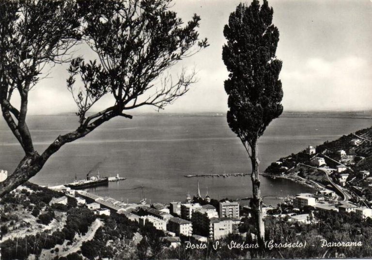
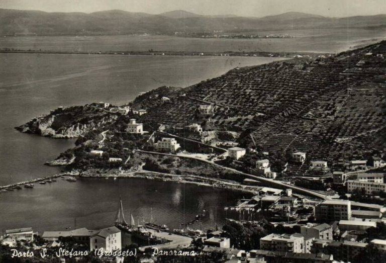
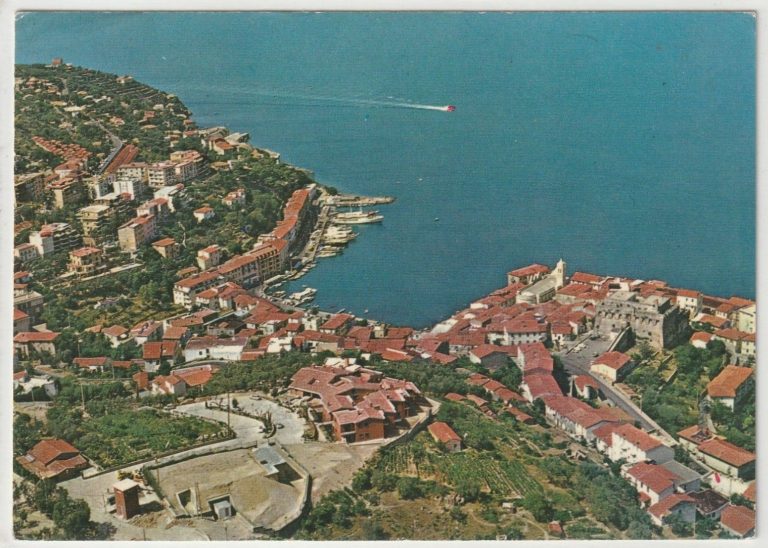
The harbor seen from above, the city at work
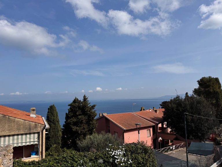
Final section of Via della Grotta
Leaving the Fortress behind, the path winds its way up Via della Grotta, a steep climb winding through the village houses. For quite a stretch, we walk immersed in the townscape, amid stone walls, stairways, and glimpses of daily life—no views yet, just the shortness of breath from the climb and the scent of the Mediterranean scrub that begins to fill the air. It is almost at the top, when the road finally opens up, that our effort is rewarded: suddenly, a sweeping view of the “Vallata del Valle” and the Porto del Valle, the main commercial port of Porto Santo Stefano. From up here, the productive heart of the town is visible at a glance: the moored fishing boats, the warehouses along the shore, the boat yards where wood is still worked today just as it was a century ago. This part of the bay was chosen by the Spanish as a more sheltered landing place than Porto Vecchio, and in the 20th century it became the heart of the local economy, first through fishing, then through shipbuilding. The Valle District, which stretches along this inlet, features an axe and a lighthouse — two symbols that say everything about the calling of these people: building with their hands, gazing out at the sea.
A prayer to the heavens
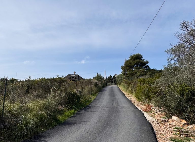
With a 90-degree turn, you turn your back on the sea and, after about 50 meters, you’ll find the small church on the left
A short distance further on, the trail passes in front of the Church of Our Lady of Heaven, also known as the Church of the Crocine — a small place of worship standing on the edge of the path, far from the town center but not from popular devotion. The title Madonna del Cielo is a typically maritime devotion, linked to the image of the Virgin protecting fishermen from above — an invocation that in these parts held a concrete meaning for those who set out to sea every morning knowing they might not always return. According to local tradition, this area was the site of Marian apparitions, episodes that over time have fueled the devotion of the inhabitants and helped make this small church a place of heartfelt and lived contemplation. The church represents one of those lesser-known places that tourism usually overlooks but which preserve the most authentic memory of a community: a door always left ajar, a few fresh flowers on the altar, a sign that someone still stops by to pray.
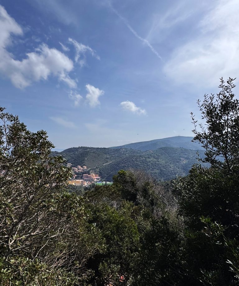
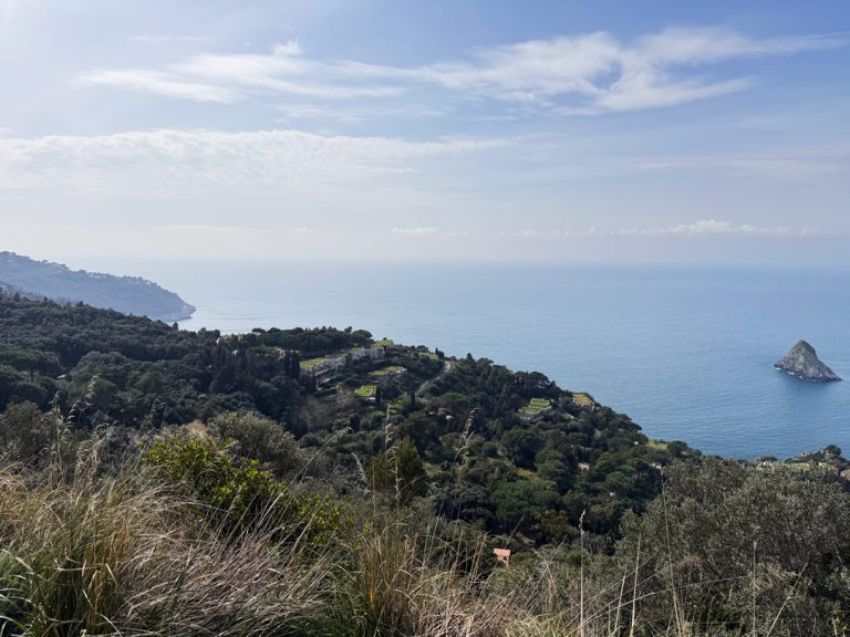
View of the valley
About 700 meters from the church, the view of the Argentiera Tower opens up
Well past the Crocine Church, the trail climbs higher, and at a certain point, on the right, the landscape suddenly opens up to the eastern slope of The Argentario. We are now near Poggio Spadino, and the view takes in the entire Valle dei Fondoni — one of the most secluded and quiet valleys on the promontory — with its ancient terraces and the dense scrub of the ridges. On the eastern side of the valley, in the section known as the Valle del Castagno, the silhouette of the Torre dell’Argentiera: a medieval structure with a square plan, standing 25 meters, which dominates the entire area with its silent presence. Its origins likely date back to the era of the Aldobrandeschi, powerful lords of the medieval Maremma, built in 1442 under Sienese rule, and a 13th-century 13th century in the Roman Basilica of San Sebastiano alle Tre Fontane depicts it already built and surrounded by walls. Its name perhaps alludes to the presence of a silver mine nearby, a theory never fully confirmed but never fully disproved either. Immediately after Spadino, the route turns sharply westward, and the eastern slope begins to give way to something different.
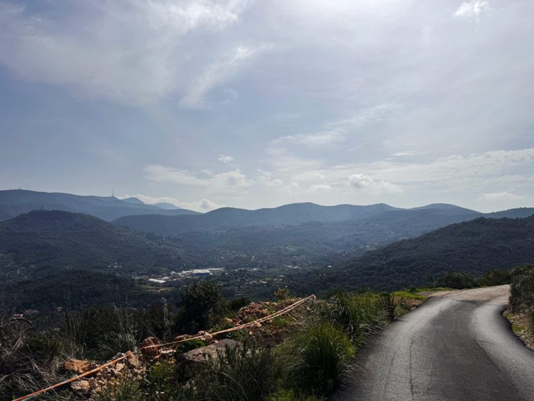
Where the promontory reveals its other side
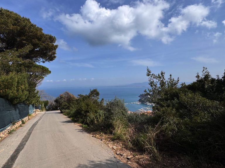
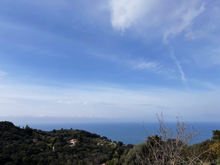
Once past Poggio di Spadino, the view opens up and the road descends to the right, toward the open sea
Immediately after Spadino, the trail turns sharply westward; the scrub opens up, and in an instant the landscape changes character: the eastern slope disappears behind us, and before us appears the open sea on the western side ofArgentario — a wider, windier horizon, with the dark waters of the Tyrrhenian Sea looking towardIsland of Giglio, visible on clear days about twenty kilometers away. It is one of those moments when you realize you are truly crossing the promontory from one end to the other.
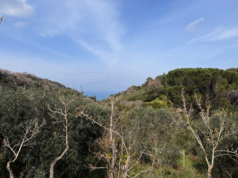
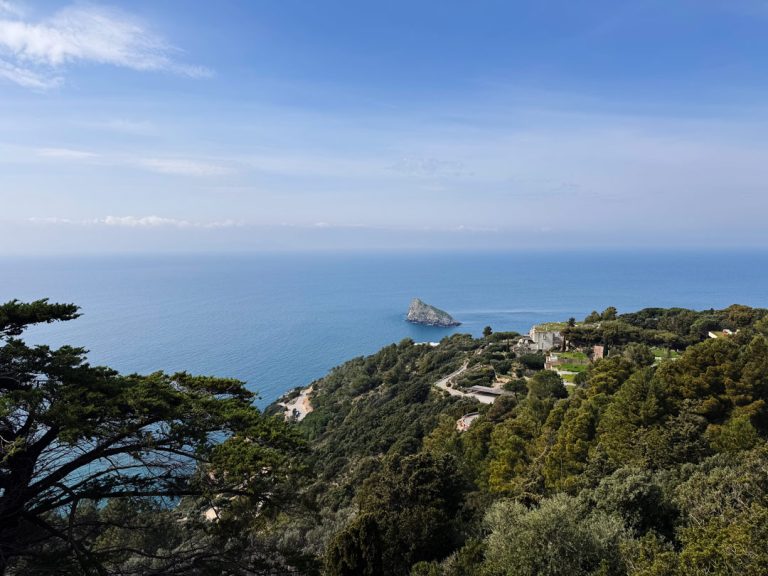
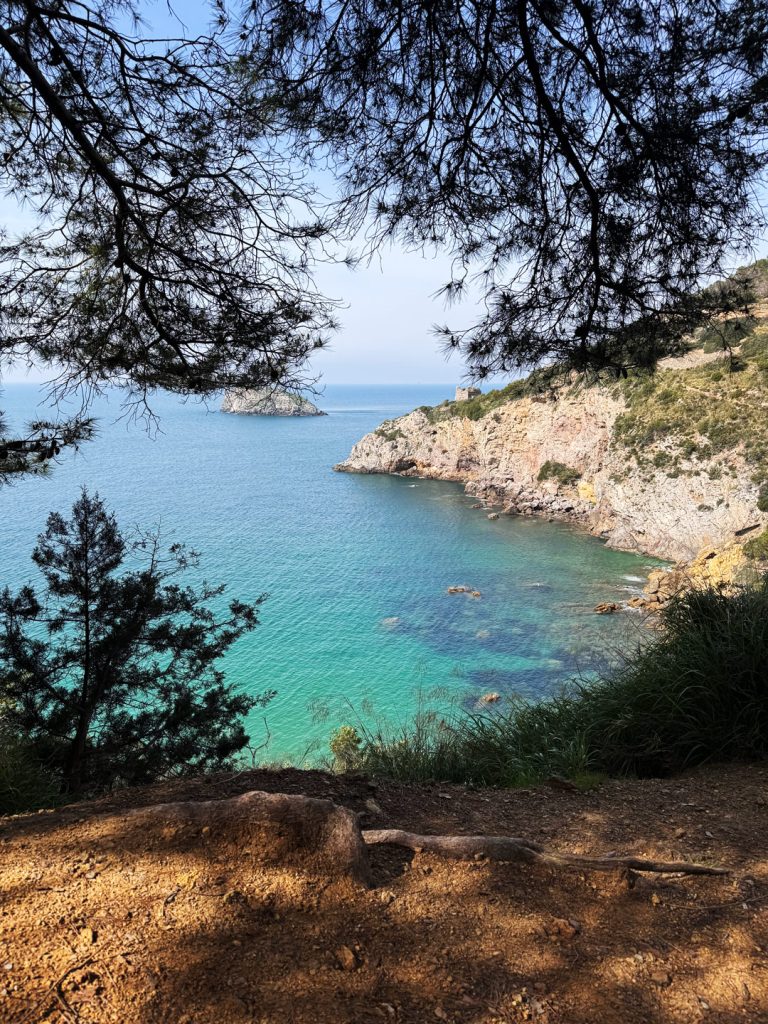
The islet that holds the secrets of the sea
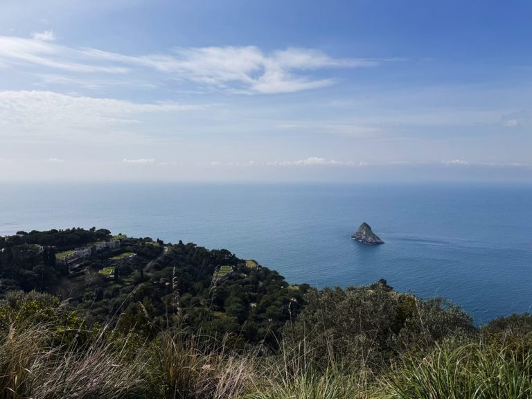
Argentarola as seen from the hairpin turn with the mirror
The trail offers one of the most spectacular views along the entire route: directly below us, set apart from the coast, we can catch a glimpse of the small isletof Argentarola —once also known as Argentino. From up here, it looks almost like just another rock jutting out of the Tyrrhenian Sea, but those familiar with these waters know it hides an extraordinary world. Its submerged walls are covered with forests of red and yellow gorgonians, visible even at just a few meters deep, among groupers, moray eels, lobsters, and barracudas. But the most precious treasure lies hidden inside: the Grotta Grande, also known as the Grotta della Cattedrale, whose entrance is located just 4 meters deep on the southern wall of the islet and extends into vast chambers with stalactites and stalagmites frozen in time. This cave has proven to be an extraordinary natural archive: speleothems collected at various depths have allowed scientists to reconstruct climate and sea-level changes over the past 300,000 years, making it a site of international scientific interest, unique in the central-northern Tyrrhenian Sea. Local fishermen have always known it by another, more familiar name: they call it the Grotta delle Pumadorine, because the lobsters that covered the ceiling reminded them of the strings of cherry tomatoes that hung from the ceiling in farmhouses to dry. A quirky and affectionate name that says a lot about how the people of this promontory have always viewed the sea.
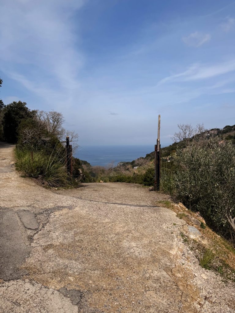
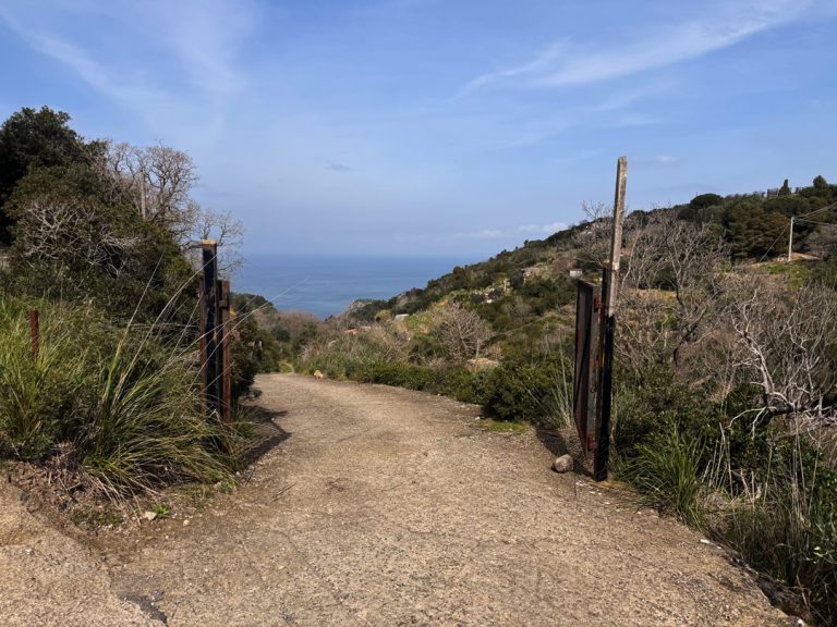
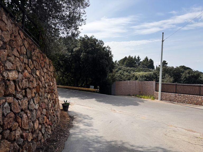
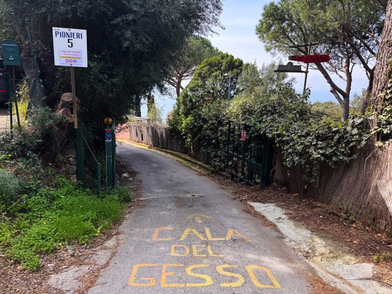
Via dei Pionieri: the road leading down to the sea
After traveling along the Panoramic Provincial Road for about 150 meters
From the viewpoint on Argentarola, head down toward the scenic road and shortly thereafter take Via dei Pionieri, the road that descends steeply toward the western coast. The name evokes something foundational—who were the pioneers of this part of the promontory? Digital historical sources do not document this, but the term most likely refers to the first inhabitants who, during the 20th century, settled on this wilder and less accessible sideArgentario, opening roads, building houses, and taming a coastline that until then had remained almost completely untouched. Walking down this slope, it becomes clear why: the western side is rougher, windier, and harder to reach. Those who chose to live there did so with the spirit of pioneers blazing a new trail. Today, that trail leads us, curious hikers, all the way to the shore.
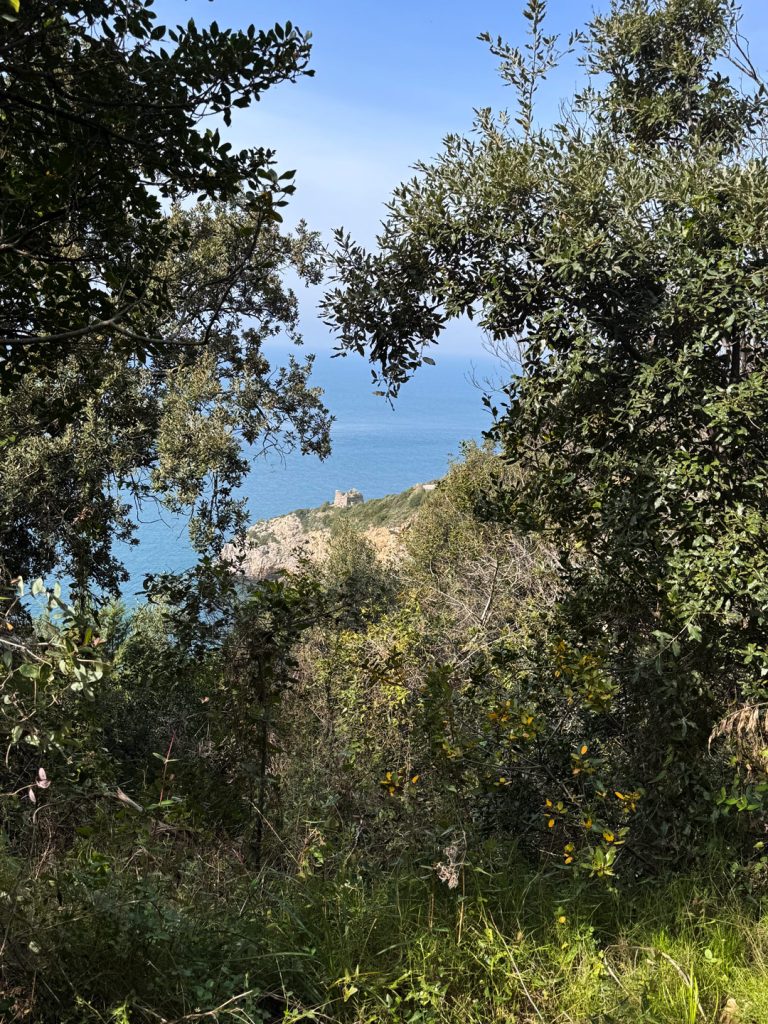
The Tower of the Moors and the cove that bears their name
Along the final descent to the beach
Just before reaching the beach, the path offers a view of the Calamoresca Tower — and the name leaves nothing to the imagination. According to local tradition, this sheltered cove, difficult to spot from above, was frequented by Barbary pirates — the “Moors” — as a landing point and refuge along the Tyrrhenian route. To guard this vulnerable coastline, the Spanish built in the 16th century a watchtower, part of the defensive system of the State of the Presidi that covered the entire promontory. Passing by it today, amid the scrub and the silence, has a certain effect: a structure that for centuries kept watch over the sea, now left to face the ravages of time.
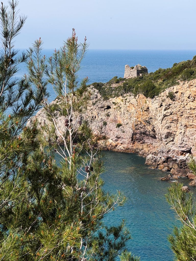
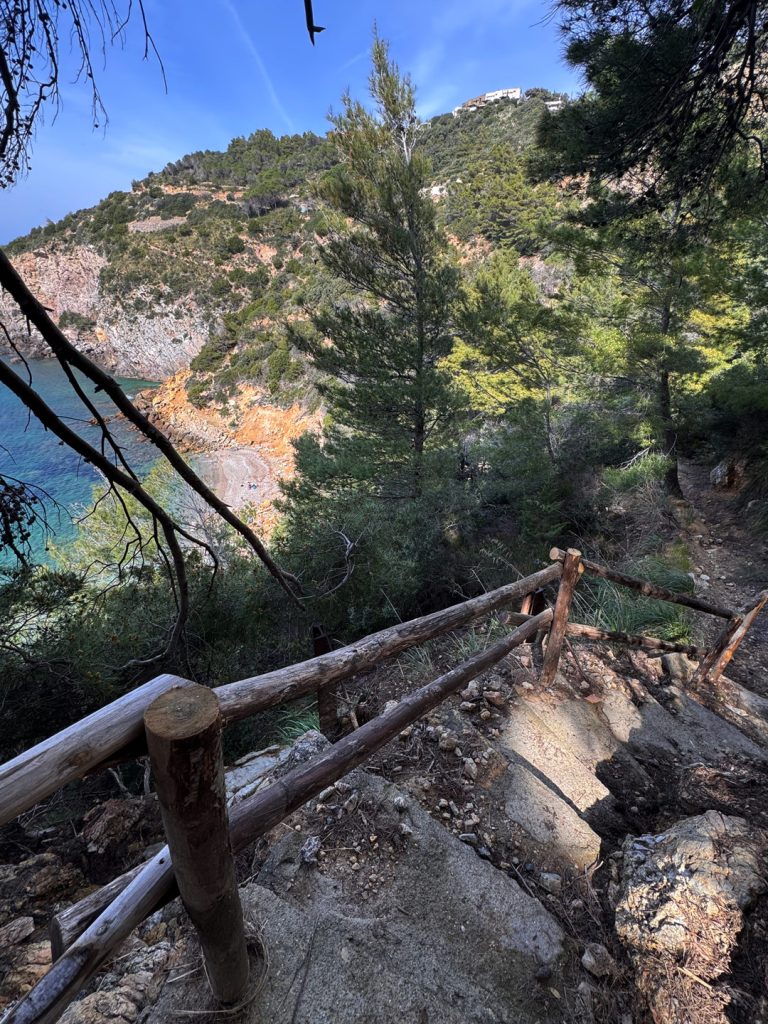
Cala del Gesso, where the journey ends at the sea
Arrival at the crystal-clear waters of Cala del Gesso
The trail ends with a steep descent of about 700 meters — partly paved — leading down to the shore of Cala del Gesso, one of the wildest and least accessible beaches onArgentario. The name comes from the chalk quarries that were once mined in this area, an activity that has since disappeared but remains forever etched in the local place names. To the right of the beach, you can glimpse the remains of the Cala Moresca Watchtower , yet another outpost of a defensive system that left no bay unguarded. Opposite the cove lies the islet ofArgentarola — which we have already admired from above at point 6 — now appears in all its proximity, with a completely different perspective: no longer a distant speck on the sea, but a concrete, rocky presence, just a few meters from the water where we swim. The circle is complete: we set out from a fortress overlooking the sea, crossed the promontory from one end to the other, and arrived where the sea is within arm’s reach.
To provide the best possible experience, we use technologies such as cookies to store and/or access information on your device. By consenting to these technologies, we may process data such as your browsing behavior or unique identifiers on this site. Failure to consent or withdrawal of consent may adversely affect certain features.