Close


Home » Explore » Routes and itineraries » Hiking Trails » 19 – The Mines Loop
Starting Point: Three Canvases to Save Your Life
Starting Point: Porto Ercole Cemetery
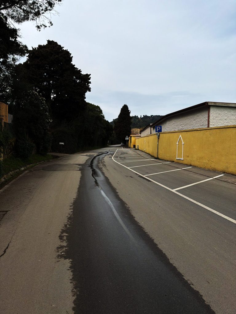
The route starts at the intersection of Via Provinciale Orbetellana and Via Tramontana, where there is convenient parking. We take Via Tramontana northward, and within the first few meters the route takes us past the Porto Ercole Cemetery: a quiet, secluded place that preserves the memory of the village’s historic families, but also evokes one of the most dramatic stories in Western painting. On July 18, 1610, just a few steps from here, Michelangelo Merisi, known as Caravaggio — one of the greatest painters of all time — at the age of just thirty-nine, exhausted by fever and the Maremma summer. He had fled Rome four years earlier after killing a man in a brawl, and was returning to receive a papal pardon, interceded for by Cardinal Scipione Borghese. With him, on the felucca from Naples, he carried three canvases—a Magdalene in Ecstasy and two versions of St. John the Baptist — intended specifically for Borghese as a token of his goodwill: not mere paintings, but his bargaining chip, tangible proof that the genius was still alive and producing masterpieces.
Encounter with Nature
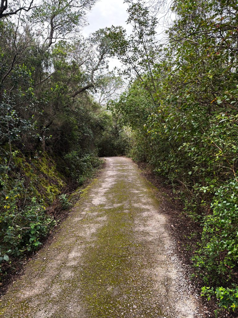
Walking Along Via Tramontana
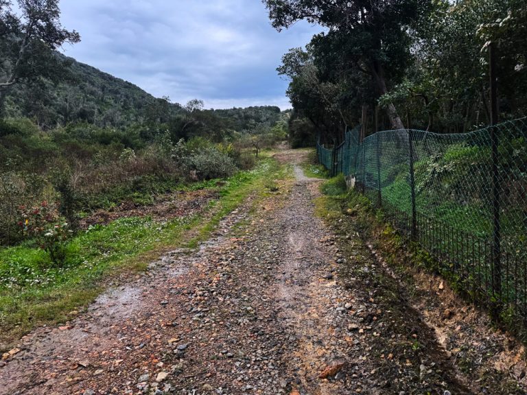
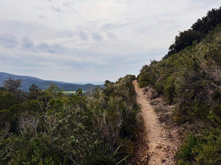
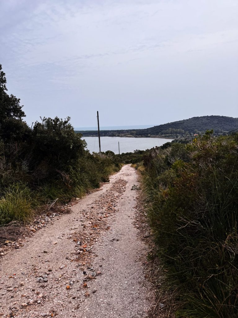
We head up Via Tramontana and the wind is immediately noticeable. Anyone familiar with Porto Ercole knows that the north wind almost never reaches it: the village faces east toward the lagoon, sheltered by the promontory itself. But here, as soon as you turn the corner toward the northwest, the tramontana is at home—and it is precisely this wind that gave this street its name. It was the wind that the fishermen of Porto Ercole knew well, not for having experienced it in the village, but for its effects: it dried the fish hung out to dry on this exposed slope, brought clear skies and dry air after the rain, and according to local tradition, “brings bad luck at sea but good luck on land.” In the Mediterranean scrub surrounding us, the holm oak (Quercus ilex) and the strawberry tree (Arbutus unedo), along with the mastic (Pistacia lentiscus), the myrtle (Myrtus communis), phyllirea (Phillyrea latifolia) and thetree heath — a tall shrub that can grow into a veritable evergreen forest. In spring, the rockrose colors the edges of the path white and pink, while wild rosemary permeates the air with its scent at every step. The arid limestone grasslands ofArgentario rich in orchids, and the promontory is home to unique endemic species such as Centaurea paniculata var. litigiosa, found only here, and Coronilla juncea, found in Italy onlyArgentario. As for wildlife, in the morning hours it is not uncommon to encounter wild boars and foxes, while theporcupine (Hystrix cristata). At higher elevations, one’s gaze often turns toward a buzzard or a kestrel circling the ridge—this northwest slope is the wildest and least visited of the entire promontory.
One Street, One Name, One Story to Discover
Leopoldino Aqueduct Street
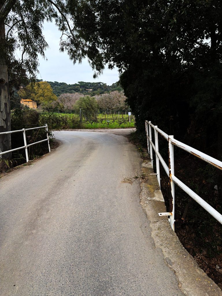
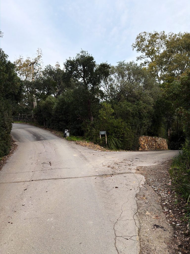
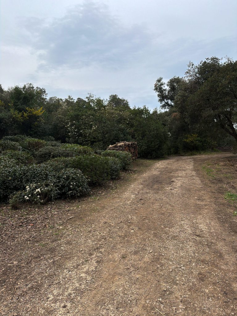
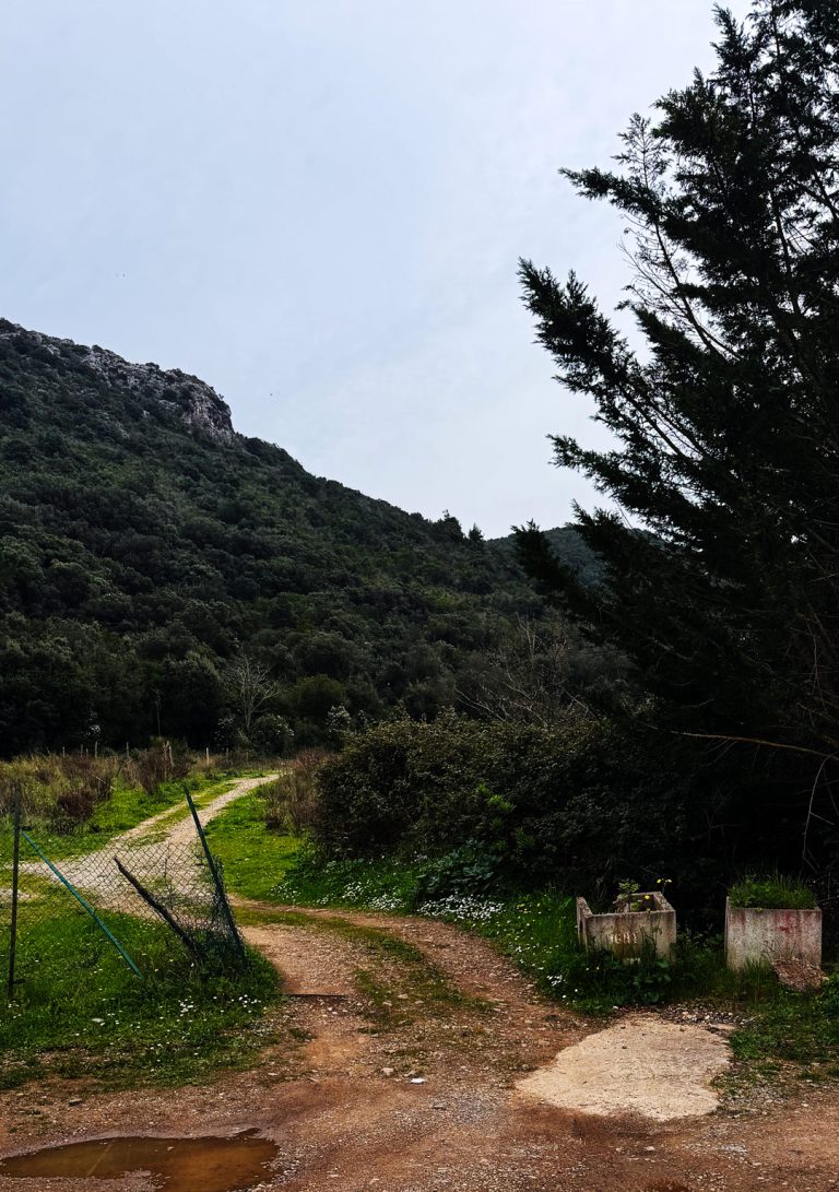
After leaving Via Tramontana, a short connecting path leads to the entrance of Via Acquedotto Leopoldino, which runs entirely downhill toward the Terrarossa. The name most likely refers to the era of the Grand Dukes of Lorraine, who in the 19th century profoundly transformed Tuscany with major public works—roads, land reclamation, aqueducts—leaving their names etched in the place names of entire regions. Whether an aqueduct from that era actually ran along this slope, or whether the name remains as a trace of a minor project or one that was never completed, is something that only firsthand knowledge of the area can clarify. What is certain is that water, on this promontory, has always been a precious and contested resource. As you descend, the view gradually opens up toward the plain of Terrarossa and, further in the distance, toward the Orbetello lagoon. The road descends to the water treatment plant, the exact point where the route changes character completely.
The Roof of the Ring
La Cessa Tagliafuoco and Via Spaccamontagne
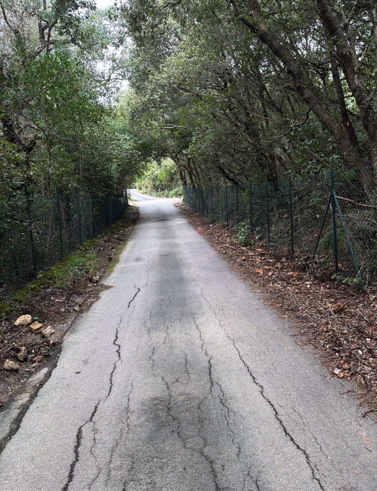
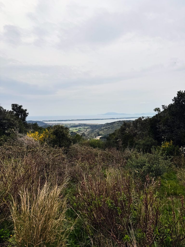
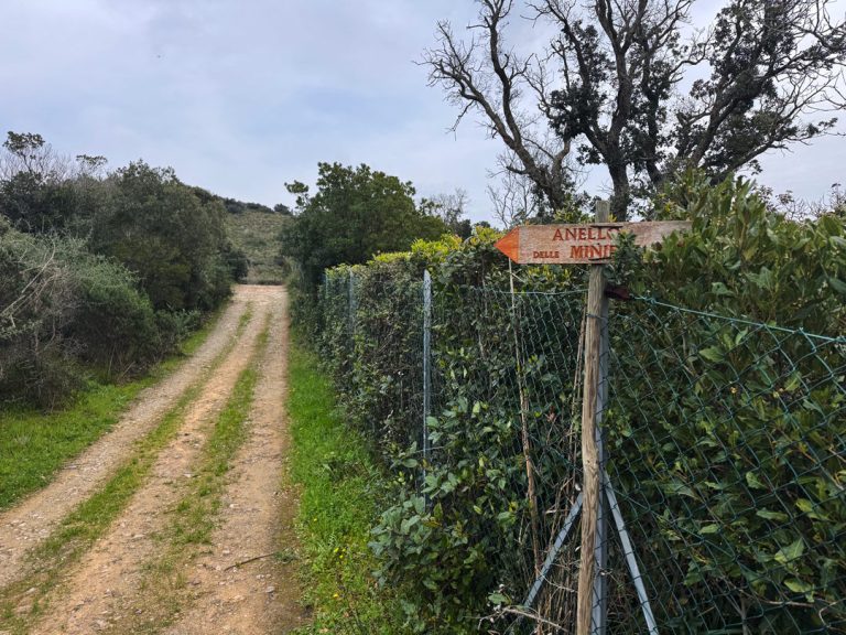
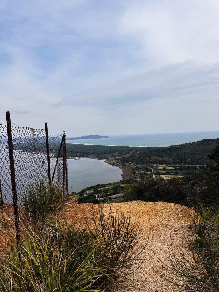
From the water treatment plant the route enters a firebreak — a wide, sunny path cut through the dense scrub to protect the forest from fires — and climbs steeply to the highest point of the entire loop. It is a steep, open ascent, with no shade, flanked by tall scrub and the sky ahead. At the top, the trail runs for just 79 meters the Via Spaccamontagne: just long enough to understand why it bears that name. We are exactly on the ridge that divides the promontory in two, the natural pass between the eastern and western slopes. Then the trail continues and the landscape changes suddenly: before us opens the Tyrrhenian side ofArgentario opens up before us, with the entire length of the Giannella Spit, the strip of land connecting the promontory to the mainland to the northwest, bordered to the west by the Tyrrhenian Sea and to the east by the Orbetello di Ponente lagoon. The name “Giannella” derives from members of the family of the same name who cultivated portions of it in the second half of the 18th century; before that, it was known simply as “the Tombolo.” From up here, with the open sea ahead and the lagoon behind, one can see at a glance why this promontory has always been one of the most contested strategic locations in the Mediterranean.
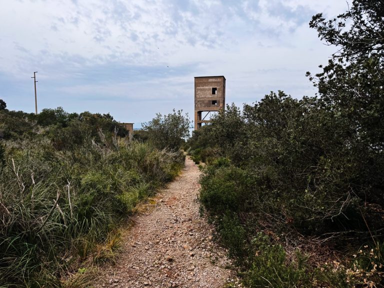
The Clearing of the Towers
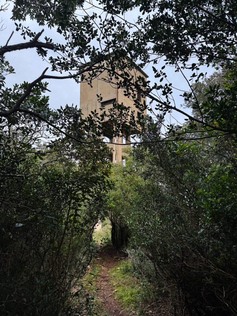
Arrival at the Mining Towers
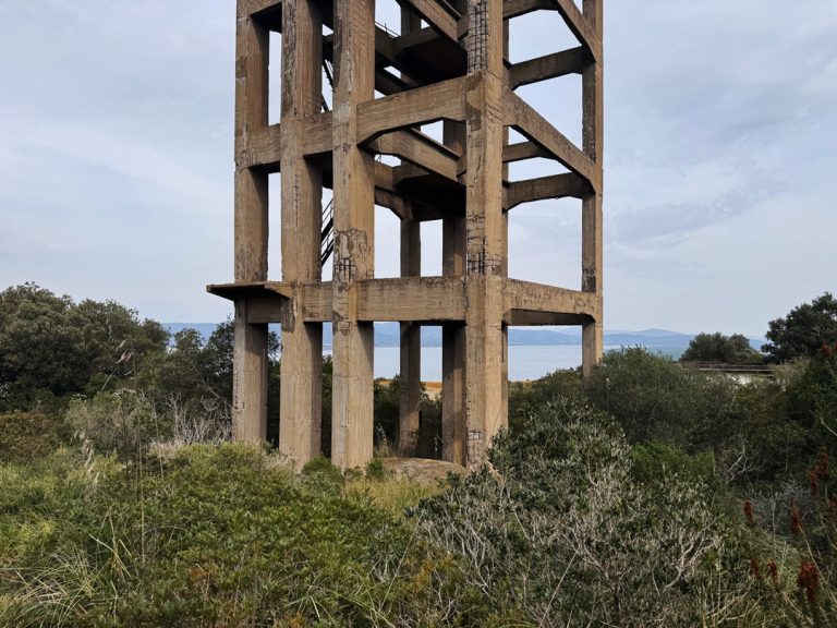
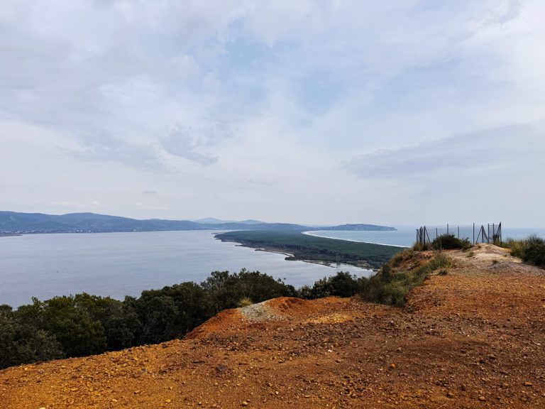
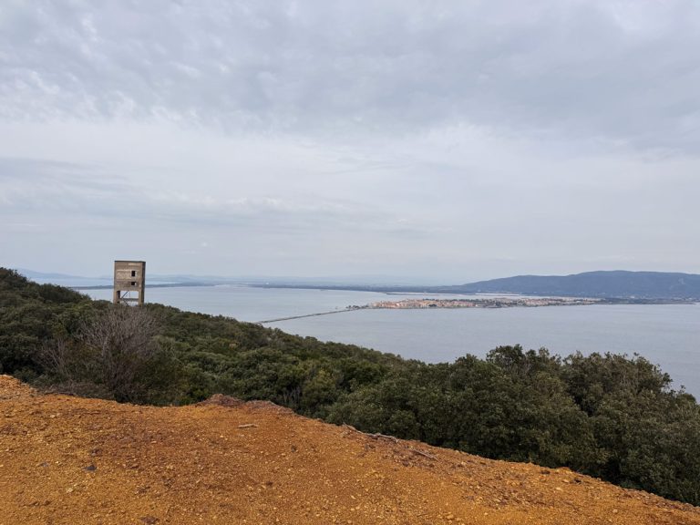
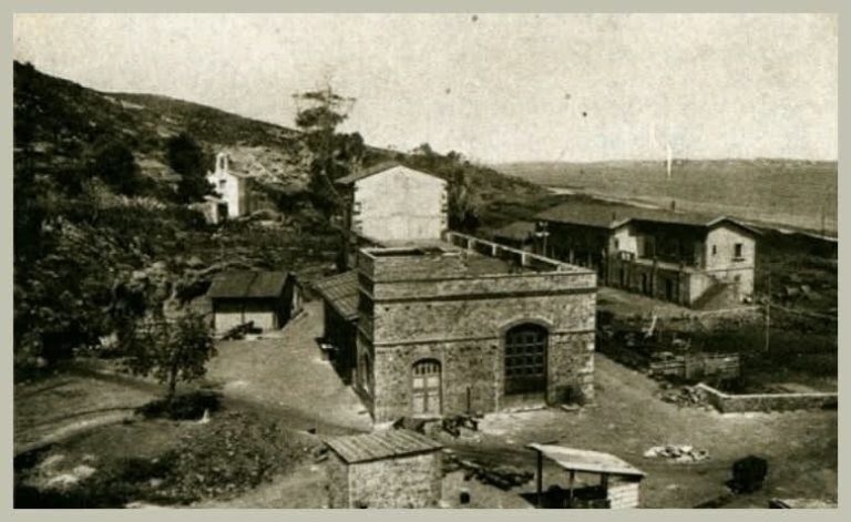
The trail descends eastward through the dense , with the sky disappearing among the canopy of holm oaks. Then, suddenly, the vegetation opens up and we find ourselves at the foot of one of Tuscany’s most unique industrial monuments: the Terrarossa Mining Towers, two reinforced concrete over forty meters tall that stand solitary in the landscape. The view that opens up from here is extraordinary: below us, the Orbetello lagoon stretches out flat and luminous, with the Feniglia Spit separating it from the open sea and, further away, the Giannella Spit closing off the basin to the north. The Punta Pertuso closes off the Tombolo della Feniglia to the west and marks the northern boundary of Cala Galerato the north, whose harbor is clearly visible below. The brackish waters of the lagoon are home to one of the most important natural oases in the Mediterranean: this is where pink flamingos, gray herons and avocets rest here, and thousands of migratory birds pass through during the migration seasons. A view that the miners saw every day—but with different eyes.
Iron, Malaria, and a Million Tons
Among the towers
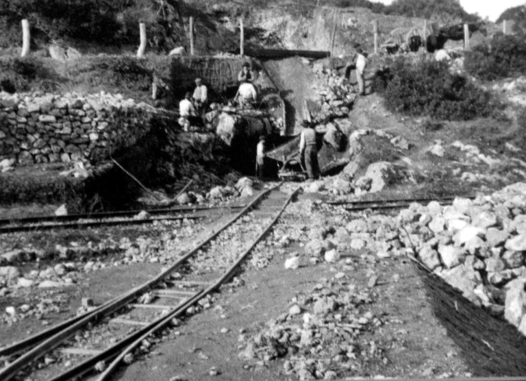
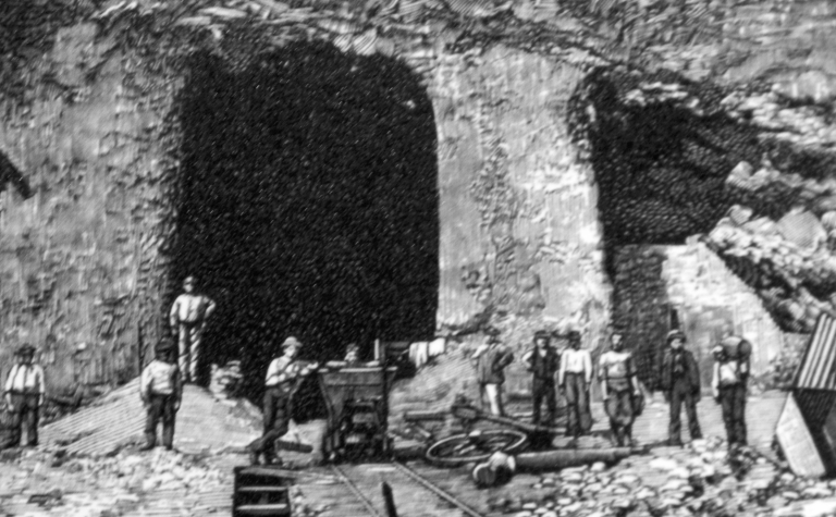
We are in the heart of theMining Ring. In 1872 a resident of Porto Santo Stefano, Pietro Bausani, discovered an iron-manganese deposit high-quality iron-manganese of high quality at the foot of this promontory: ore composed of limonite, magnetite, and manganese oxides, with an iron content of around 30% and manganese at 15%, ideal for steel production in .converters. The land belonged to Cesare Ugazzi, who went into business with the English brothers James and William Raë from Livorno, and in 1874 , they began mining operations. The business was highly seasonal due to malaria: in winter, the number of workers tripled compared to summer. Numerous convicts from the Orbetello penal colony. Since the tunnels were adjacent to the lagoon, it was necessary to equip the facilities with powerful water pumps to keep them dry. In 1916 , ownership passed toILVA, then in 1939 to Ferromin. The two towers housed the well motors; beneath them, the extraction wells were cemented shut. There is a paradox in this story: one of the two towers was never put into operation, and the other operated for only a very short time. In 1958 the tunnels were allowed to flood; Ferromin continued a small-scale open-pit operation until 1964, then silence. It is estimated that between 1874 and 1955 the mine produced over one million two hundred thousand tons of ore—a staggering figure, hard to imagine on this quiet path amid the scrub and the wind.
The Descent Toward the Provincial Road
Descent toward the lagoon
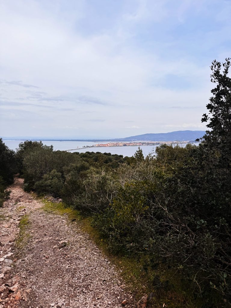
We leave the towers behind and head northeast until we reach the northernmost point of the loop, where the trail comes out onto the Via Provinciale Orbetellana. From here on, the route follows the road. Looking westward and upward, the mining towers still appear in all their grandeur on the side of the promontory: it is the same view that those arriving from Orbetello had as they traveled along the Diga, and the towers were visible from afar, an unmistakable sign that monte done on that monte . From this point begins the long final descent along the Via Provinciale Orbetellana, the route that historically connected Porto Ercole with Orbetello across the eastern slope of the promontory, which we will follow all the way to the finish line.
Along the Lagoon
Along the Levante Lagoon
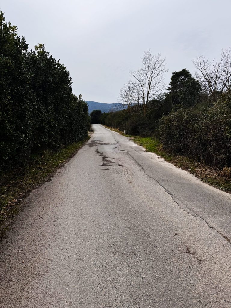
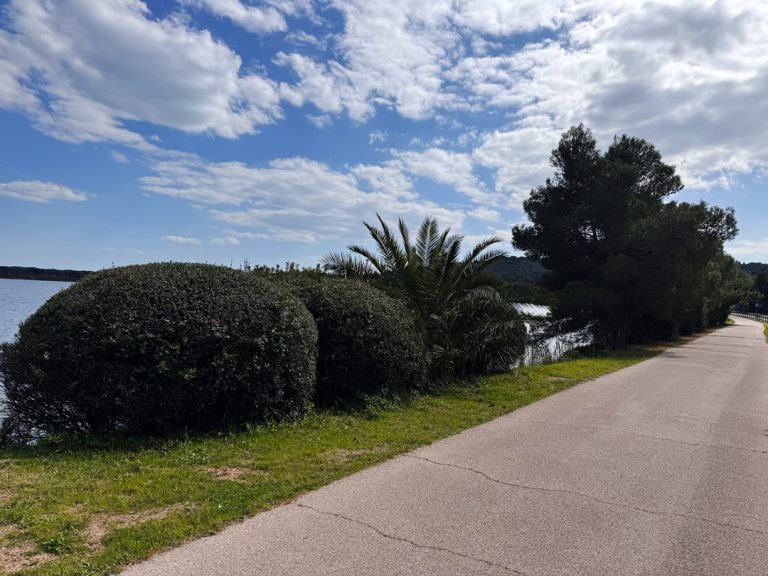
We head down along the Orbetellana Provincial Road with the Orbetello Lagoon always on our left. This brackish body of water, divided into two basins by the peninsula on which the town of Orbetello, is one of the most intact coastal ecosystems in the central Mediterranean. The agricultural landscape along this stretch opens up again: olive trees on terraces, a few surviving that have survived, and dry-stone walls marking the boundaries of farms that are now partly abandoned. One can sense that this area was once much more inhabited and cultivated than it is today. In the distance, the bell tower of the Cathedral of Santa Maria Assunta in Orbetello, and on clear days, the outline of Monte can be glimpsed on the horizon.
Poggio Pertuso and the Return to Porto Ercole
The arrival, approaching Porto Ercole
The final few kilometers run along the Orbetellana Provincial Road heading south, with Poggio Pertuso standing out on the right. On its hill stands the Torre del Pertuso, one of the coastal towers of The Argentario defensive system, while Punta Pertuso marks the western end of the Feniglia Spit and marks the northern boundary of Cala Galera, whose modern harbor can be glimpsed below. From this stretch, you can also admire the Forte Filippo, the famous Spanish fortress that dominates the entrance to Porto Ercole. The silhouette of the village comes into view, and theAnello delle Miniere ends where it began: at the intersection of Via Provinciale Orbetellana and Via Tramontana, with the parking lot just a short walk away. We’ve covered nearly 9 kilometers through wind, iron, water, and scrubland—and a cursed painter who never made it home.
To provide the best possible experience, we use technologies such as cookies to store and/or access information on your device. By consenting to these technologies, we may process data such as your browsing behavior or unique identifiers on this site. Failure to consent or withdrawal of consent may adversely affect certain features.