Close


Home » Explore » Routes and itineraries » Hiking Trails » 23 – From the beginning of Porto Santo Stefano to Forte del Pozzarello and back
Wood and the Sea.
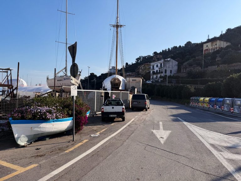
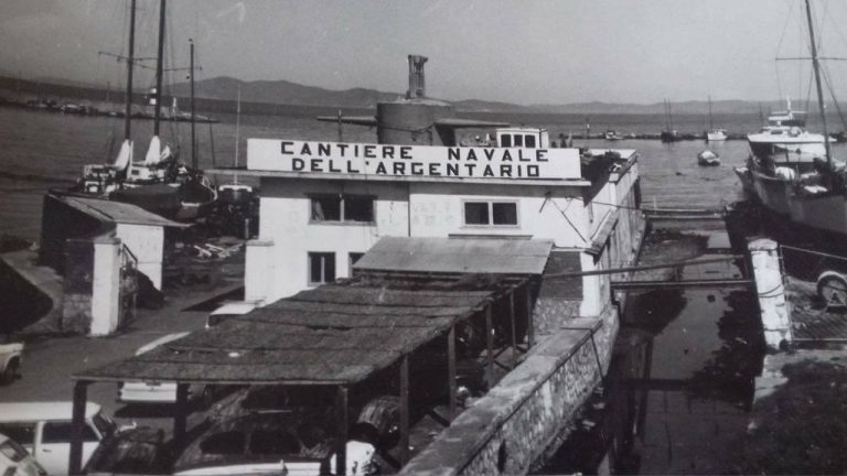
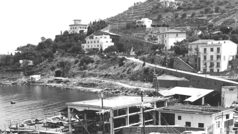
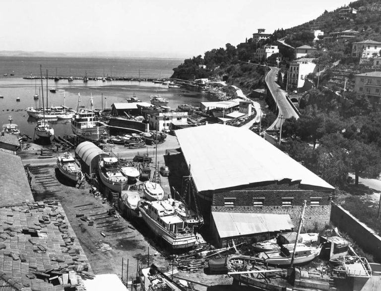
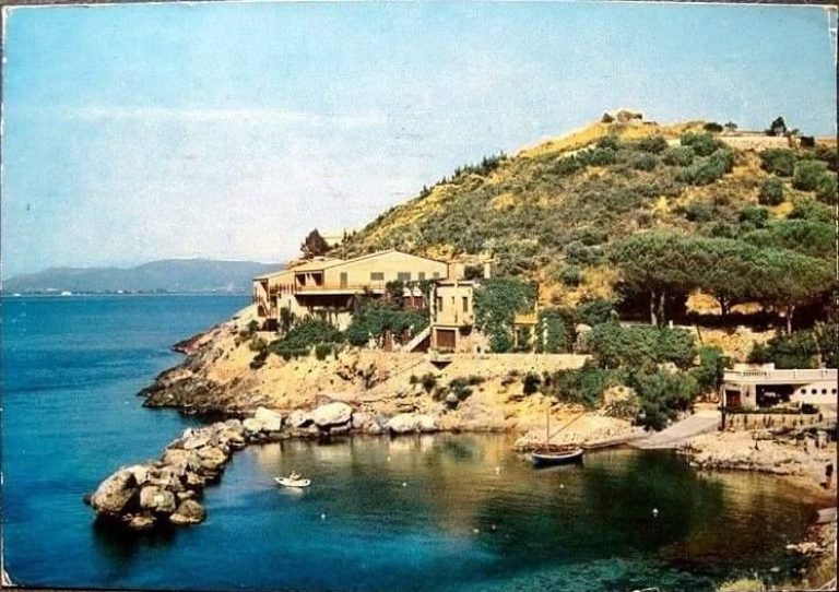
Departure from The Argentario ShipyardArgentario
The journey begins at the Argentario Shipyard, a symbol of Porto Santo Stefano’s seafaring tradition. The earliest documented records of the shipwrightsArgentario to the second half of the 18th century and the first half of the 19th century. In 1845 , a small dock was built where the work of caulkers, carpenters, and shipwrights was concentrated. The shipyard as we know it today was established inOctober 1945, when the town still bore the scars of the war: the workers came together and operations resumed with the repair of damaged motor fishing boats and the construction of new fishing vessels, which revitalized the local fleet decimated by the war.
In the postwar period, the timber used came from the surrounding forests: elm, oak, and pine. Since the 1960s, recreational boating has become the main source of employment, and many prestigious boats have passed through the shipyard. The craftsmen have passed down their valuable skills through the generations.
Among the oldest crafts, the art of caulking, the craft of sealing wooden planks with tow and tar to make boats watertight. A patient and precise task, essential for ensuring safety at sea. In 2010, in Porto Santo Stefano, a training and certification program involved young high school graduates entering the workforce, keeping this extraordinary artisanal tradition alive
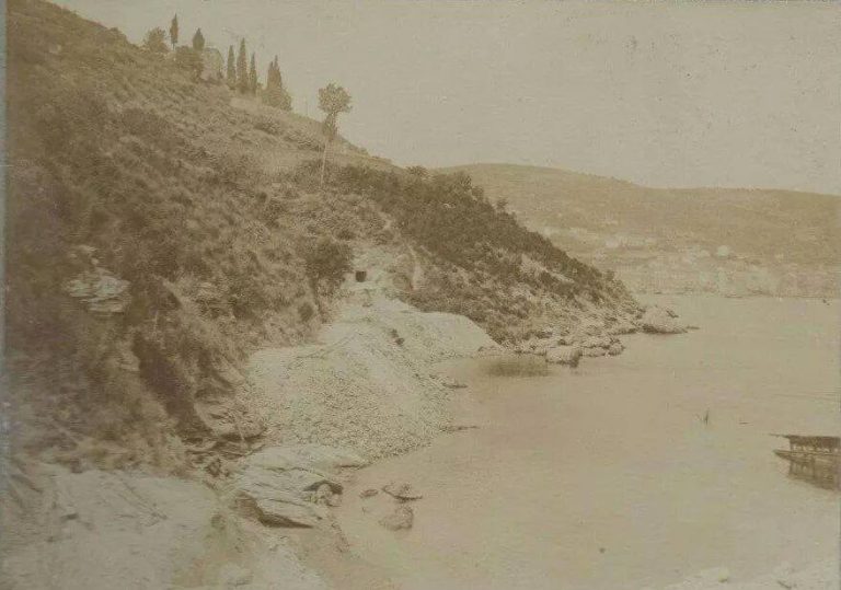
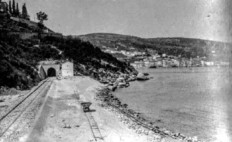
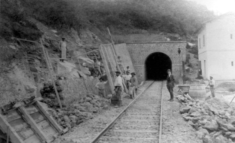
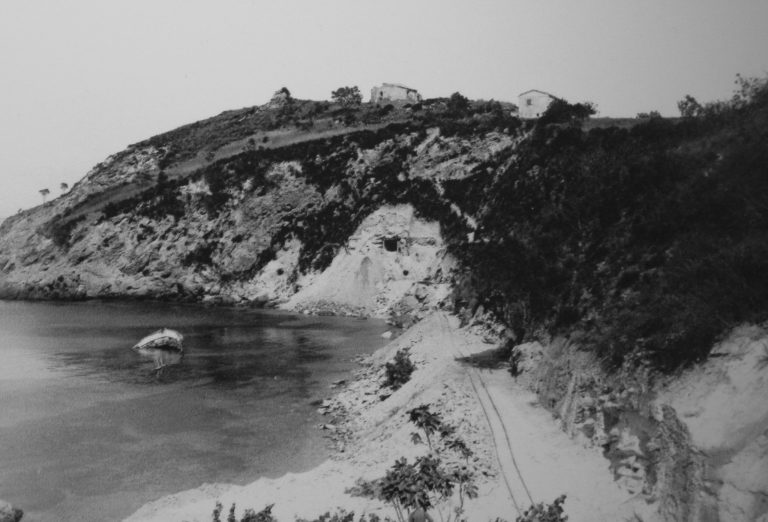
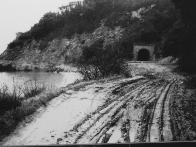
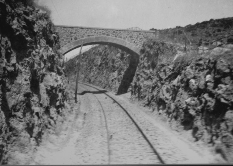
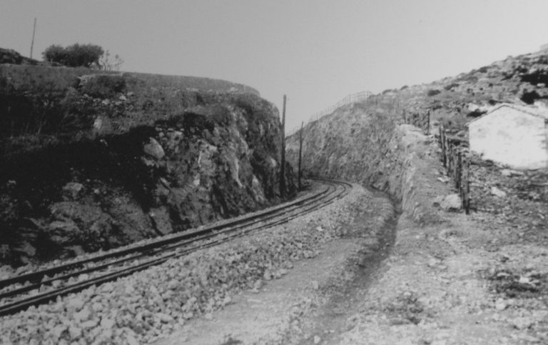
The rock and the steam.
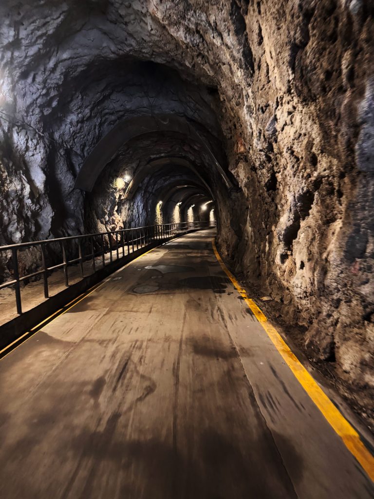
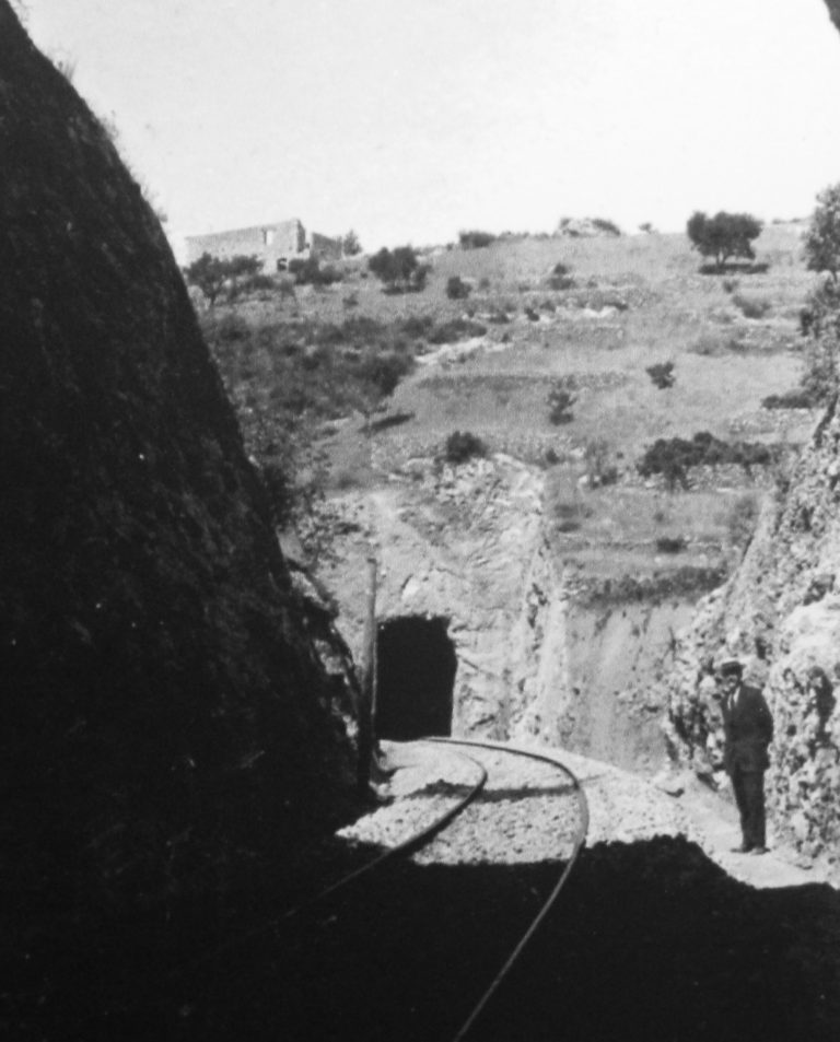
Entry into the first hole
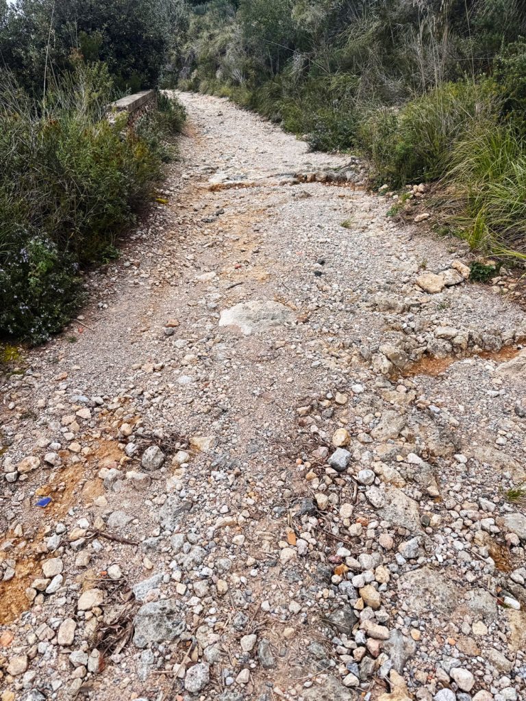
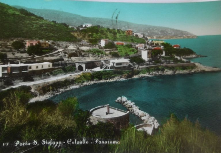
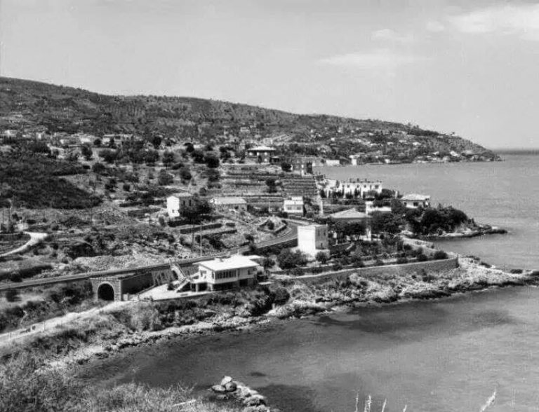
The route continues through the Fori, picturesque passages carved into the rock in the late 19th century. The Orbetello–Porto Santo Stefano was promoted by the Società Nazionale Ferrovie e Tramvie (SNFT), which completed construction between 1911 and 1913, despite the considerable difficulties encountered in crossing the Orbetello lagoon. The tunnels, along with a cut-and-cover section near Porto Santo Stefano, were carved directly into the rock.
The service was operated by a little steam train — the Baccarini, also known as “La Caffettiera” by the locals — which departed from Orbetello station, traveled along the artificial dam, skirted The Argentario lagoon and seaArgentario made its way through the Fori to the entrance of Porto Santo Stefano. The First World War brought benefits in terms of traffic: the Red Cross had opened a hospital dedicated to war wounded right in Porto Santo Stefano and made extensive use of it. The service was permanently suspended in March 1944, when Allied bombing heavily damaged both Porto Santo Stefano and Orbetello.
Today, the Fori stand as a valuable testament to industrial archaeology, so much so that their route is set to be incorporated into the future Tyrrhenian Cycle Route.
The House on the Edge.
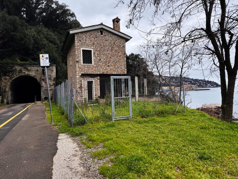
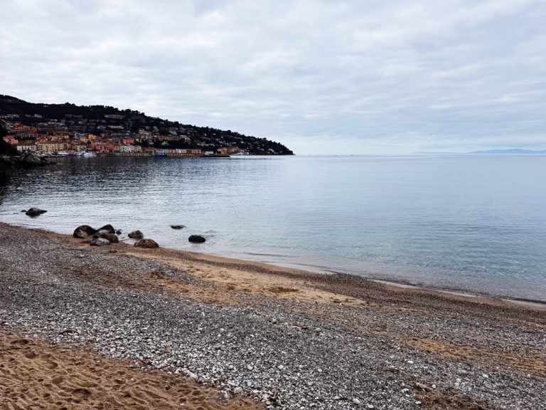
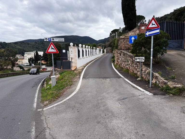
Casa Cantoniera and the beach
Just past the first square, on the left, stands the building that once housed the old road maintenance station, which gave its name to Spiaggia della Cantoniera. Road maintenance stations were service buildings located along major thoroughfares where road maintenance workers lived; these workers were responsible for maintaining and monitoring the section of road under their jurisdiction. From here, you can enjoy a sweeping view of most of the town as it overlooks the sea.
With arms outstretched toward the harbor.
Viewpoint of the Garibaldi Pier and the Madonna Stella Maris ·
On the left lies the Garibaldi Pier, also known as the “breakwater,” built to protect the harbor from the force of the waves. From June 20, 2021 , along the seawall, you can admire a permanent open-air historical art exhibition that tells the story of the Expedition of the Thousand: 40 paintings created by artists from the Costa d’Argento, transferred onto ceramic tiles, commemorate the young local volunteers who, between May 7 and 9, 1860, embarked at Talamone and Porto Santo Stefano to join Garibaldi’s expedition.
At its end stands a white marble statue of the Virgin Mary “Stella Maris”, a symbol of protection for fishermen and sailors. It was first placed there on October 16, 1954 on a pedestal shaped like the bow of a boat, it was removed in 1976 for work on the pier. On August 2, 1986, at the suggestion of Father Angelo Comastri, it was reinstalled on a new base depicting the Compass Rose, upon which the statue stands between sky and sea. Even today, the Madonna, with her arms outstretched toward the harbor, welcomes those who depart and those who return—so much so that the pier is often popularly called “Molo della Madonna”.
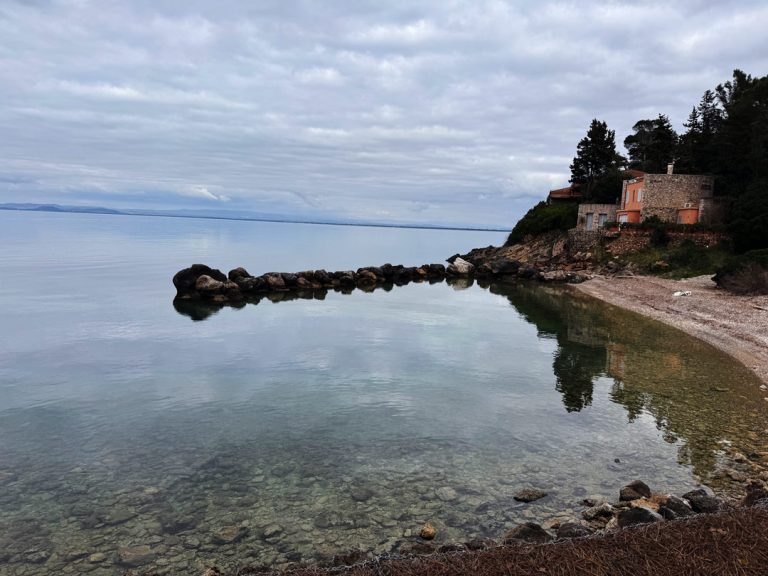
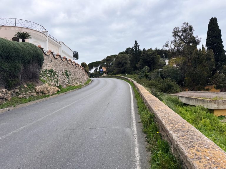
La Bionda Bay.
Continuing toward: Punta Nera, La Bionda, and Pozzarello
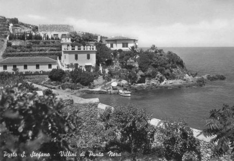
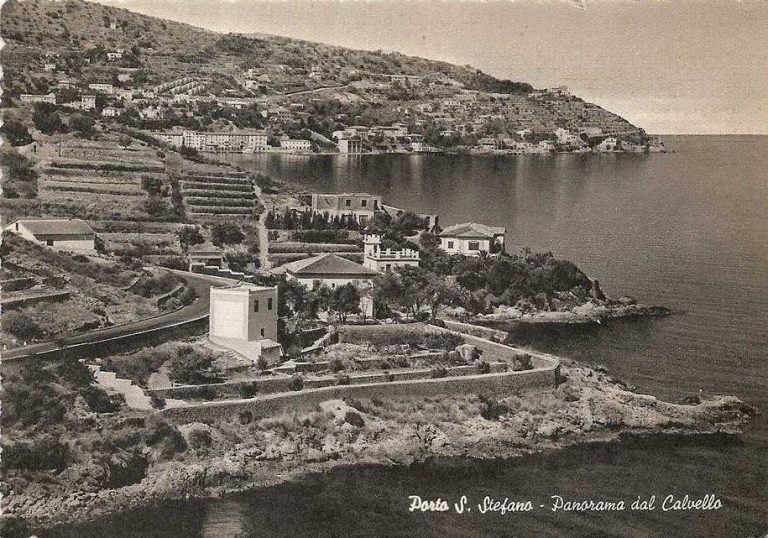
After passing the second Forum, you’ll find the entrance to Punta Nera Beach, a secluded cove at the foot of the dark rock from which it takes its name. A little further on, past the third and final arch, lies Bionda Beach, a small bay with an artificial stone breakwater that protects the cove.
It was originally known as Cala dei Tonni, because of the tuna trap that stood opposite it, but it changed its name after the blonde lady who lived in the adjacent villa—a small episode of local history that illustrates how The Argentario landscapeArgentario intertwined with the stories of those who have lived there.
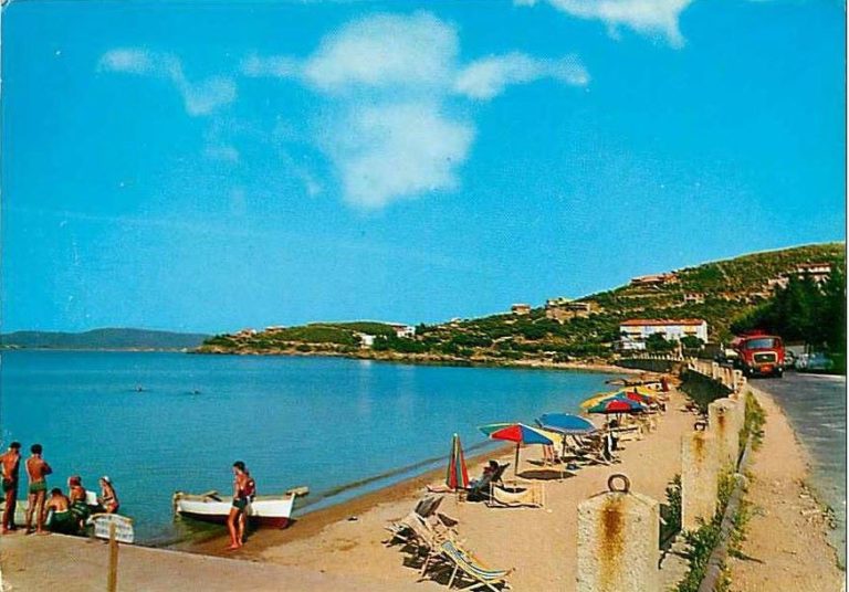
Continuing along the path carved out for the little train, you reach the provincial road and the Pozzarello Beach, sheltered from the cold north winds and very popular during the summer months.
Elm Tree Road.
Crossing the provincial road to enter Via dell’Olmo
After driving a short distance along the provincial road, take Via dell’Olmoin the village of Pozzarello. It is a hilly road that retains the rural character of the promontory. The name refers to the elm trees, trees once common along the farmsteads and among the woods most frequently used by the shipyard’s master carpenters.
A thin thread connects the forest, the land, and the sea: the same oak and the same pine that shaded the vineyards eventually set sail, transformed into hulls, along the routes of the Tyrrhenian Sea. The agricultural landscape of vineyards and Mediterranean scrub that accompanies this stretch of the route is the most authentic expression ofArgentario .
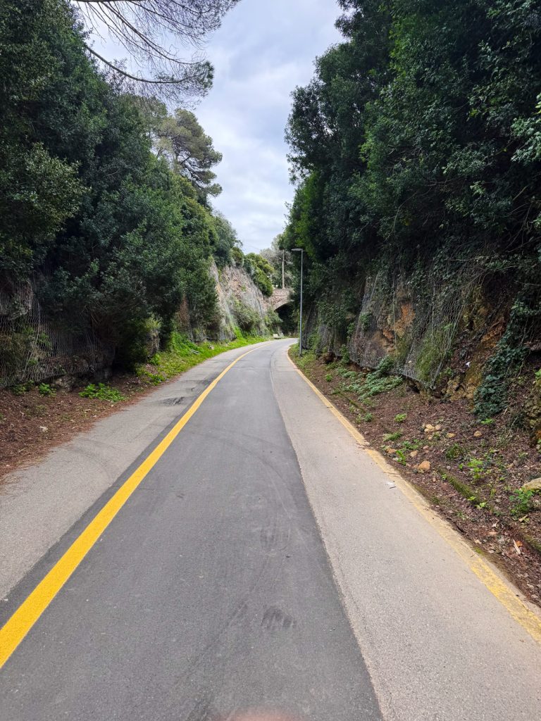
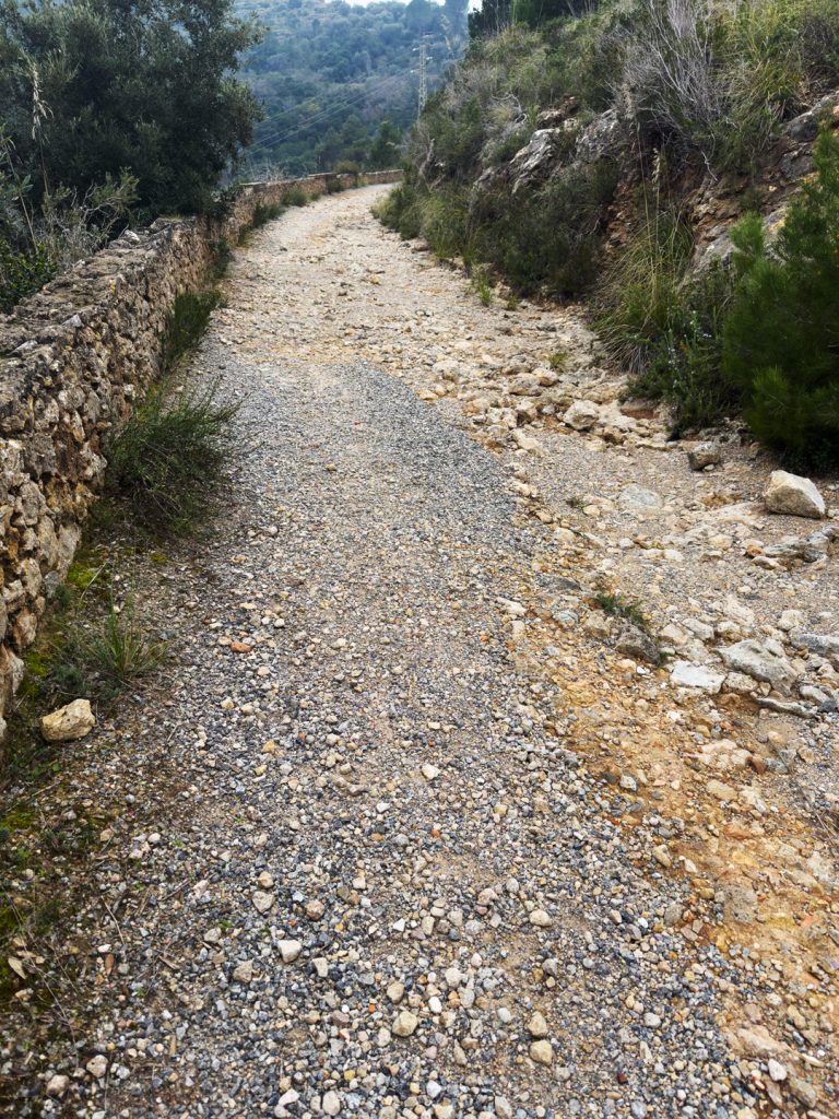
The supply trail.
Climbing along the military service road
If you take the right fork, the road becomes unpaved and begins to climb, overlooking the Pozzarello Valley. This route originated as a military service road, used to transport materials and supplies to the high-altitude defensive positions during the construction and garrisoning of the Fort.
The trail follows the ridge closely, offering increasingly sweeping views of the gulf and the open sea. With the decommissioning of military facilities after World War II, the road lost its strategic function and was transformed into a rural and hiking trail, returning to nature what had been built for the war.
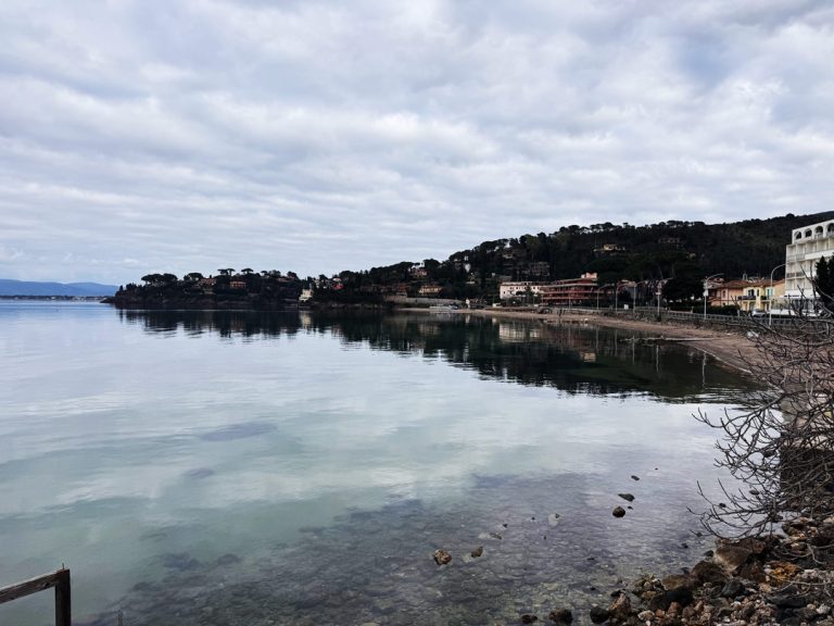
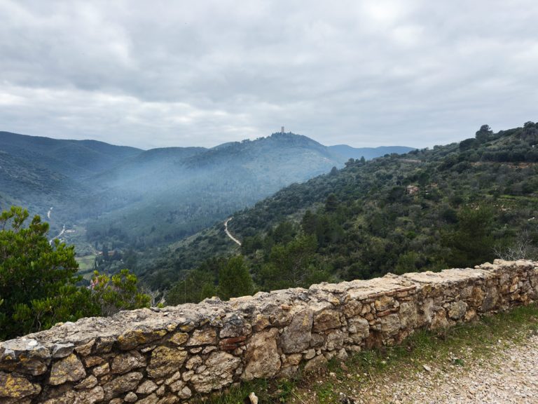
The gulf stretches out before your eyes.
Looking back at Cala del Pozzarello
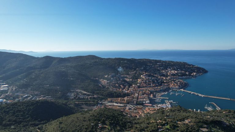
After the climb, the trail opens up toward the sea and offers one of the most beautiful views of the entire route: behind you lies Cala del Pozzarello with its secluded beach behind you, the semicircular gulf stretches out before you, and on the horizon you can already make out the outline of the Talamone coastline.
It is here that one begins to understand the logic behind the defensive landscape that has shaped this part of the promontory: the sea is not merely a horizon, but a border to be guarded. The final few meters lead directly to the fort.
The Hidden Fortress.
Arrival at Forte del Pozzarello
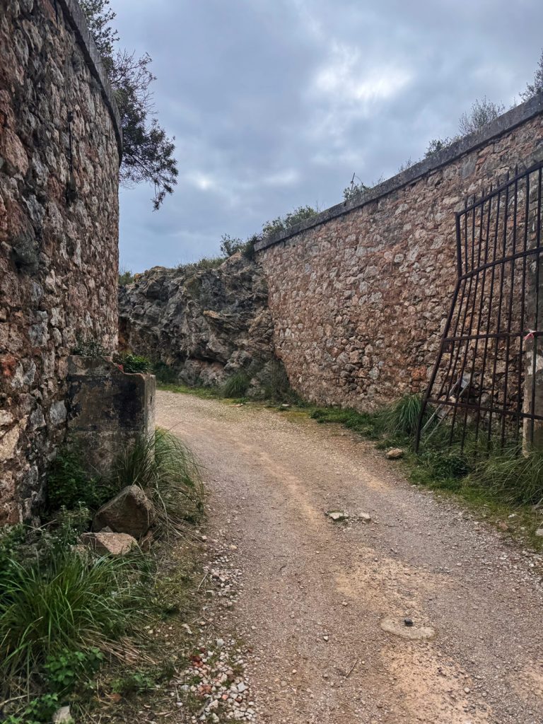
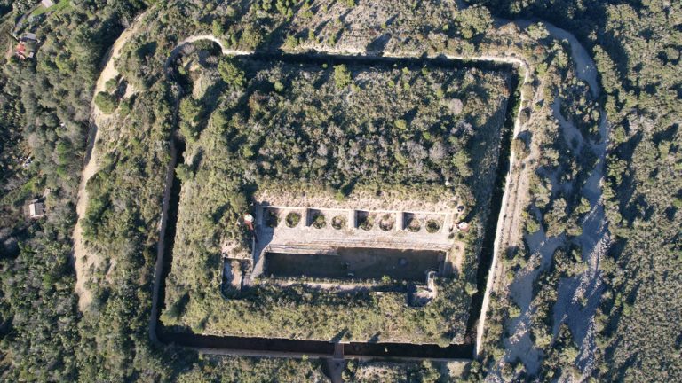
The final stretch of the route is one of the most picturesque: you enter a section of the hillside specifically excavated to accommodate the structure, which remains almost entirely hidden below ground level. This is its strength—and its secret.
Designed in 1874 and completed in 1888, the Pozzarello Fort is the last fortification built in The Argentario promontory area. It was constructed by the Kingdom of Italy with a specific strategic objective: to protect the Porto Santo Stefano–Talamone Gulf, which military experts of the time considered a possible landing point for an enemy fleet targeting Rome, which had recently become the capital of the Kingdom.
The structure follows the design principles of 19th-century Piedmontese military fortifications and is laid out in a trapezoidal layout, protected by deep moats that follow the course of the curtain walls on each side. Access is through a double round-arched gate that spans the entire thickness of one of the four curtain walls, which are externally clad in rusticated stone. The complex extends over three stories around a large central courtyard, defended by a moat with drawbridge.
During World War II the fort was equipped with anti-aircraft guns to defend the port of Santo Stefano from bombing. After the war, it was used as a powder magazine and weapons depot until 1975, the year it was completely decommissioned. Among the original details still visible inside: the latrines for the troops, the pump that draws water from the underground cisterns , and the niches for the lamps with smoke hoods, accessible only via a separate corridor to prevent fires in the explosive storage areas.
Today, the Fort is at the center of a major restoration project. The State Property Agency has entrusted the structure to the Confraternity of the Most Holy Sacrament and Mercy of Porto Santo Stefano for 25 years, with the goal of establishing a permanent museum of the Fort, restore the cellars and former troop barracks, and create open spaces for conferences and theatrical performances.
The sentinel on the opposite shore.
Looking out over the gulf, you can see the Talamonaccio Fort · Talamone
The Pozzarello Fort was not an isolated outpost. Looking south from the promontory, one immediately grasps the defensive logic of the system: on the other side of the Gulf of Santo Stefano–Talamone, on the hill of Talamonaccio, stood an almost identical structure, built between 1888 and 1892 as a direct complement to The Argentario Fort. The two forts were designed to operate in tandem, with a crossfire system capable of controlling the entire gulf and making any enemy landing attempt difficult.
The strategic context was quite clear: there were fears that in the event of war with Austria or France, the ports of Ancona and the Gulf of Talamone might be occupied by the enemy to cut off communications between northern and central Italy. General Angelo Valle and the writer Alois di Haymerle had highlighted the vulnerability of these coastal stretches, even going so far as to propose the construction of a direct railway line between Talamone and Ancona to strengthen national defense.
Officially named “Batteria di Talamone” in June 1892, the structure was always known locally as Forte di Talamonaccio. During construction, important archaeological finds, including the remains of the temple from which the famous Talamone pediment, now preserved at the Orbetello Archaeological Museum.
Unlike the Pozzarello Fort, which has retained its original structure and is currently undergoing restoration, the Talamonaccio Fort has met a very different fate: its appearance is now virtually unrecognizabledue to the construction of a tourist resort in the area. Two contrasting fates for two forts that were once identical, demonstrating just how fragile historical memory can be in the face of urban development pressure.
To provide the best possible experience, we use technologies such as cookies to store and/or access information on your device. By consenting to these technologies, we may process data such as your browsing behavior or unique identifiers on this site. Failure to consent or withdrawal of consent may adversely affect certain features.