Close


Home » Explore » Routes and itineraries » Hiking Trails » 22 – From the start of Porto Santo Stefano to Argentiera and back
Wood and the Sea.
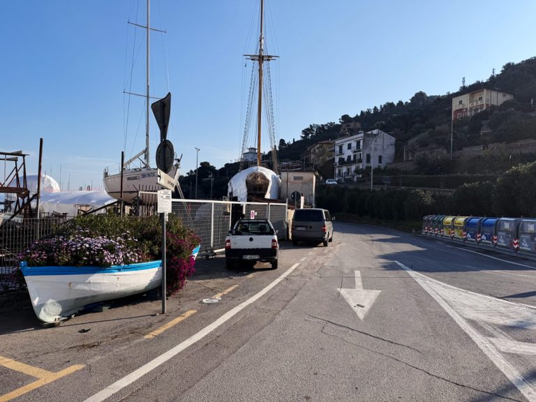
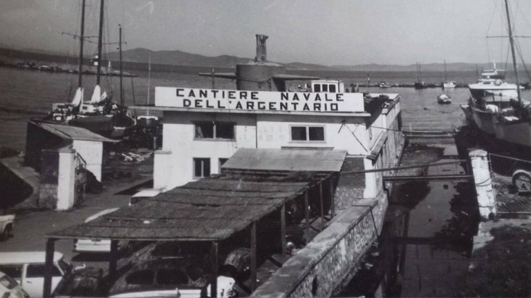
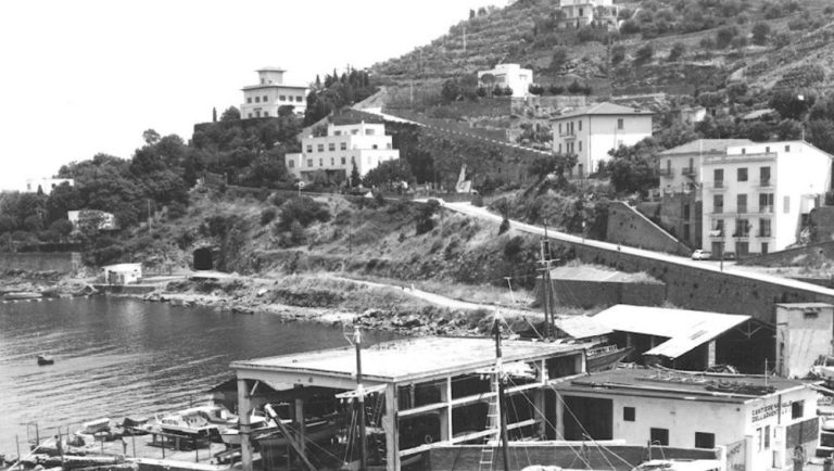
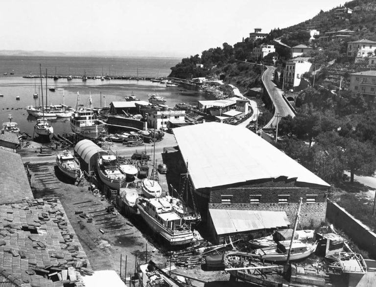
Departure from The Argentario Shipyard
The journey begins at the Argentario Shipyard, a symbol of Porto Santo Stefano’s seafaring tradition. For centuries, fishing boats and workboats have been built and repaired here, thanks to the expertise of master shipwrights who combine technical skill with a deep understanding of the sea.
Among the oldest crafts, the art of caulking, the craft of sealing wooden planks with tow and tar to make boats watertight. A patient and precise task, essential for ensuring safety at sea. Even today, the shipyard preserves the memory of this artisanal knowledge, an authentic expression of maritime culture of The Argentario.
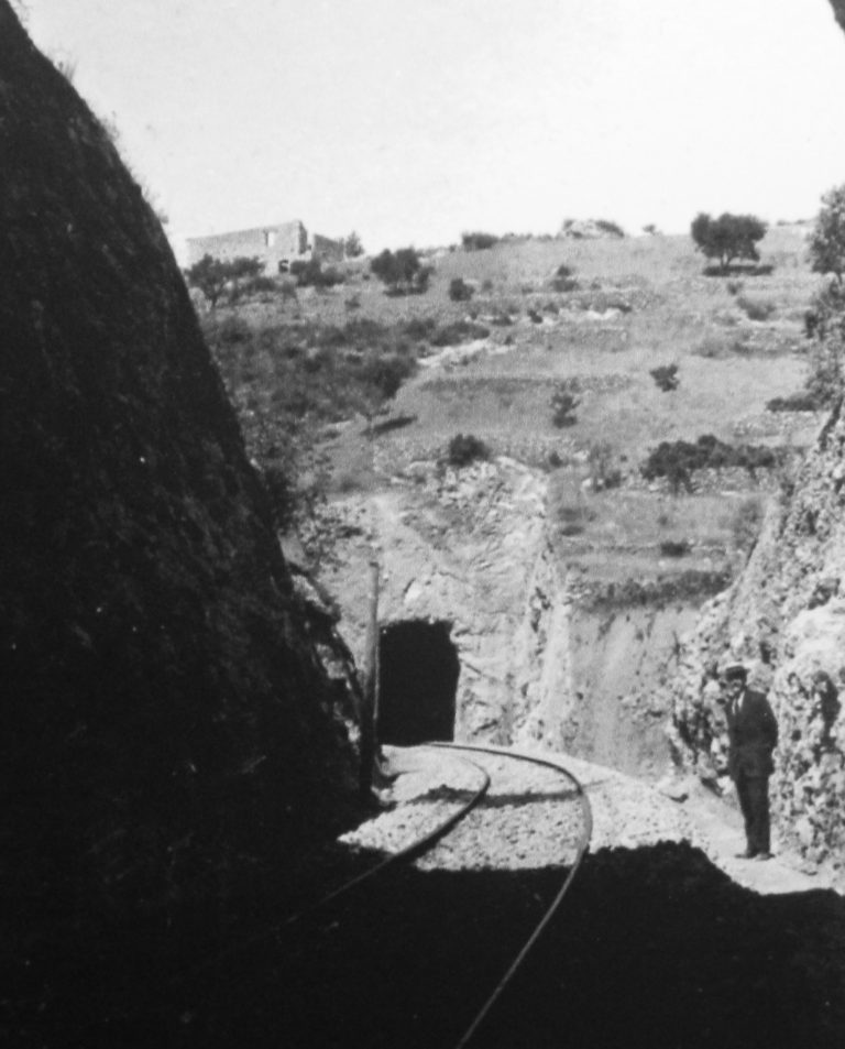
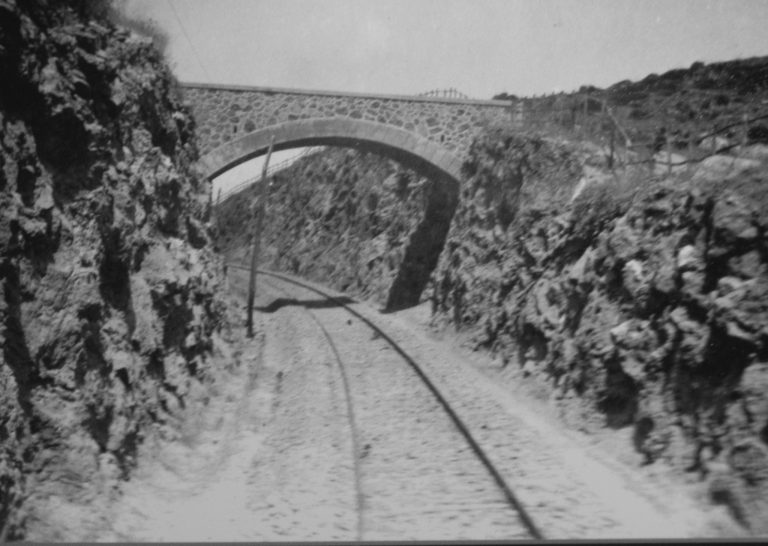
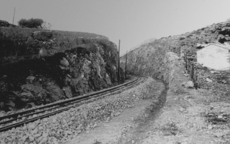
The rock and the steam.
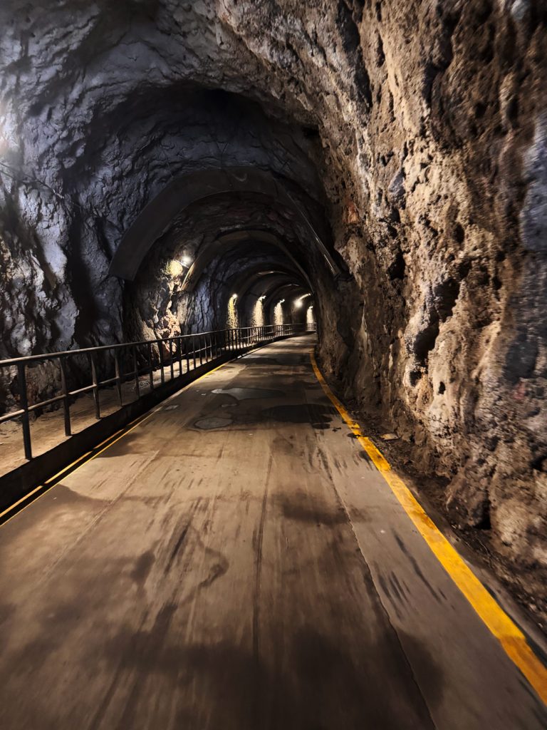
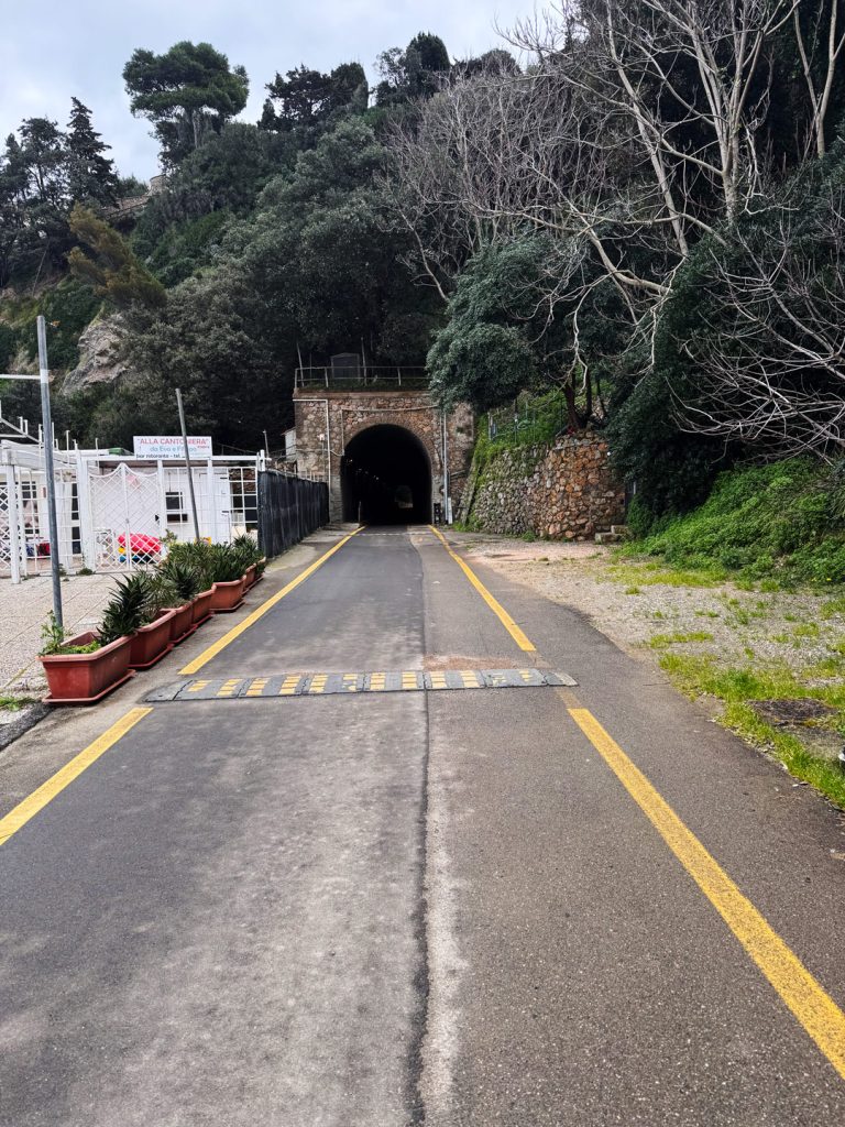
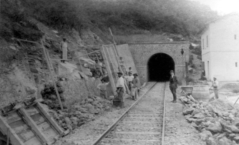
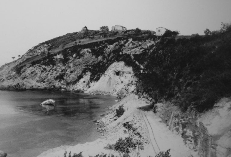
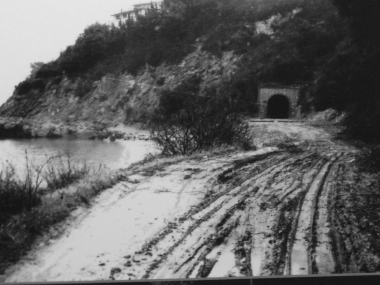
Entrance to the first hole
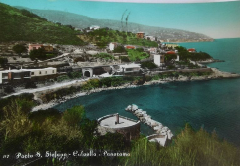
The route continues through the Fori, picturesque passages carved into the rock in the late 19th century. They were built during the construction of the railway line connecting Porto Santo Stefano to Orbetello.
In 1913, a small small steam train began operating, transporting goods and coal from the port to the lagoon, supporting the local economy. The tunnels and sections cut into the rock protected the train and made the journey along the coast easier. The service remained active until the mid-20th century. Today, the Fori stand as a valuable testament to industrial archaeology, a symbol of the bond between sea and land.
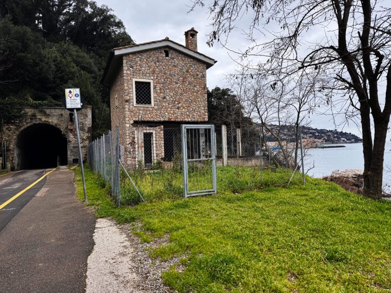
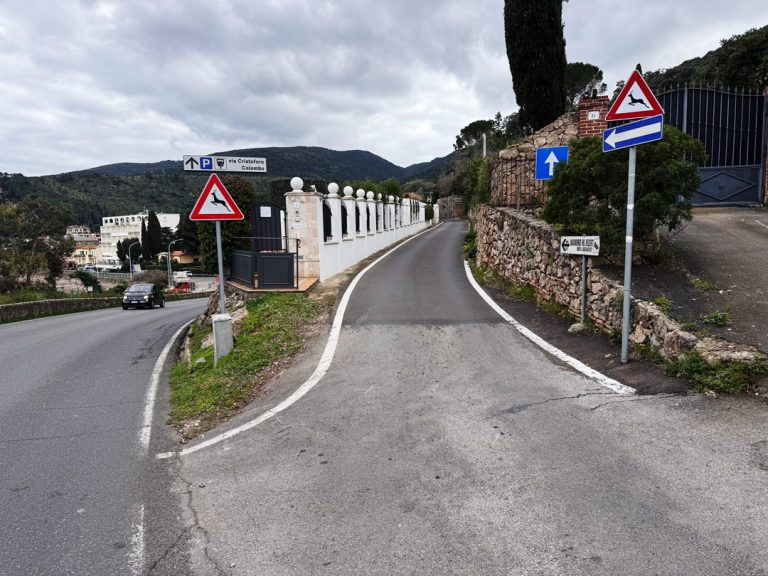
The House on the Edge.
Casa Cantoniera and Cantoniera Beach
Just past the first square, on the left, stands the building that once housed the old road maintenance station, which gave its name to Spiaggia della Cantoniera. Road maintenance stations were service buildings located along major thoroughfares where road maintenance workers lived; these workers were responsible for maintaining and monitoring the section of road under their jurisdiction. From here, you can enjoy a sweeping view of most of the town as it overlooks the sea.
With arms outstretched over the harbor.
View of Molo Garibaldi and the Madonna Stella Maris
On the left lies the Garibaldi Pier, also known as the “breakwater pier,” because it was built to protect the harbor from the force of the waves. At its end stands the white marble statue of the Virgin Mary “Stella Maris”, a symbol of protection for fishermen and sailors.
The statue was first erected on October 16, 1954. Removed during the port expansion project in 1976, it was reinstalled in 1986 on a pedestal depicting the Compass Rose, evoking the theme of journey and return. Even today, the Madonna, with her arms outstretched toward the sea, welcomes those entering and leaving the port, so much so that the pier is often popularly called “Molo della Madonna.”
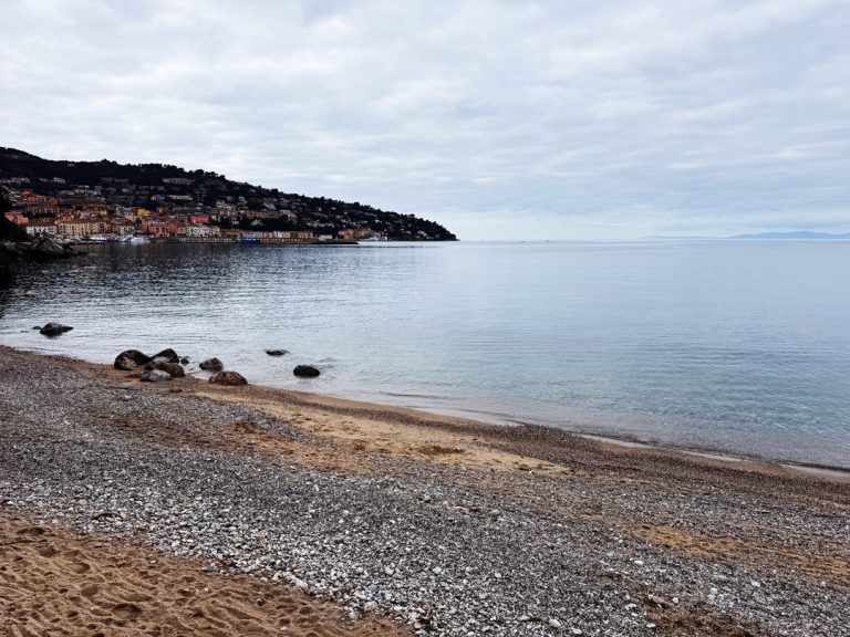
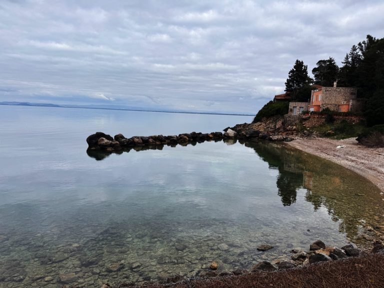
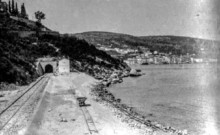
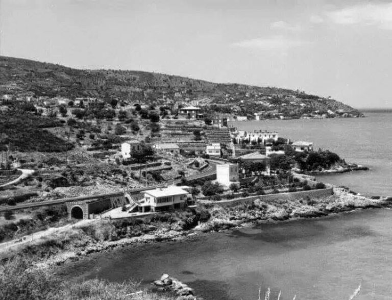
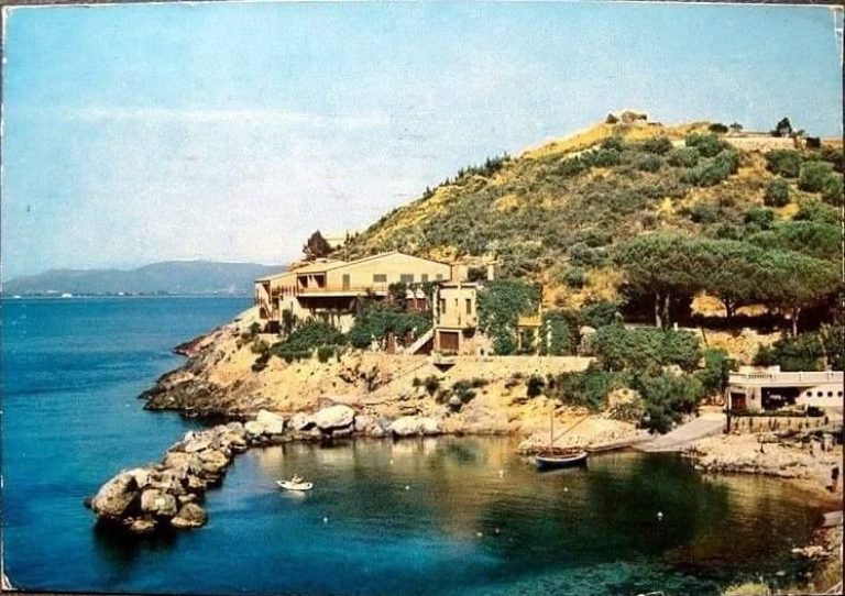
La Bionda Bay.
Toward Punta Nera, La Bionda, and Pozzarello
After passing the second Forum, you’ll find the entrance to Punta Nera Beach. A little further on, past the third and final arch, you’ll find Bionda Beach, a small bay with an artificial stone breakwater that protects the cove. It was originally called Cala dei Tonni because of the tuna trap located in front of it, but it later changed its name due to the blonde lady who lived in the adjacent villa.
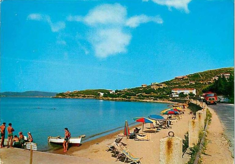
Continuing along the path carved out for the little train, you reach the provincial road and the Pozzarello Beach, sheltered from the cold north winds and very popular during the summer months.
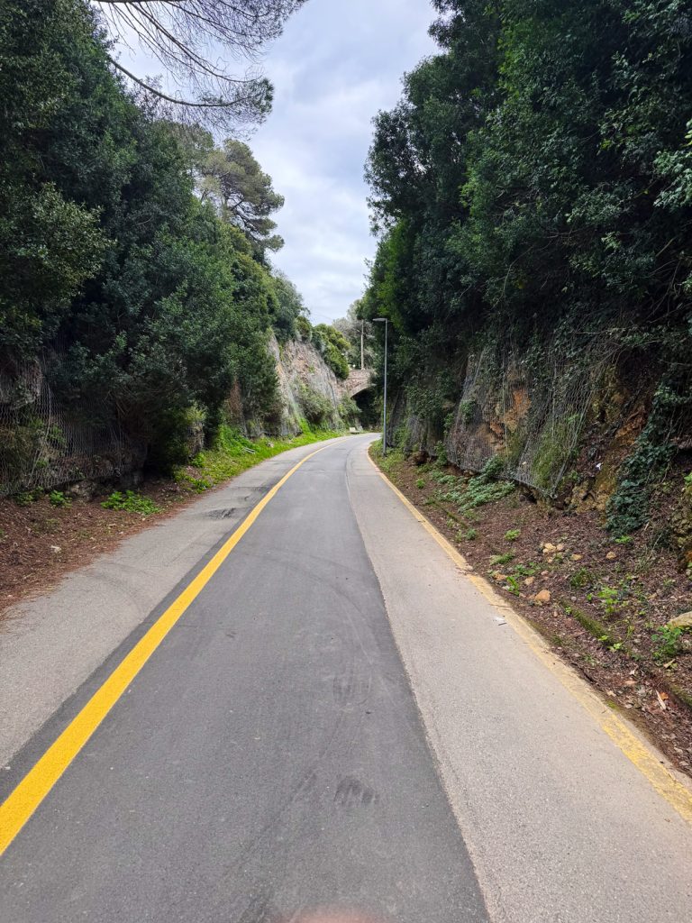
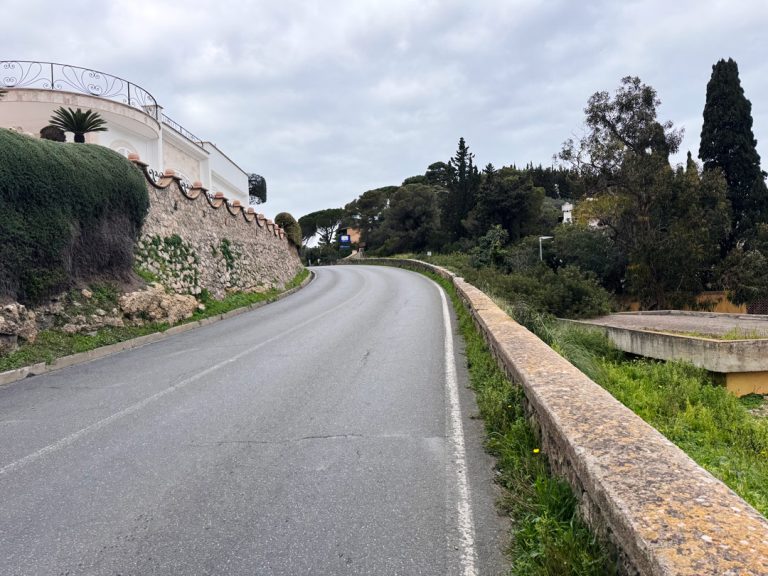
Elm Tree Road.
A short stretch of the provincial road and the entrance to Via dell’Olmo
After driving a short distance along the provincial road, take Via dell’Olmoin the village of Pozzarello. It is a hilly road that retains the rural character of the promontory. The name refers to the elm trees, once common along the farmsteads, a symbol of the traditional agricultural landscape of vineyards and Mediterranean scrub.
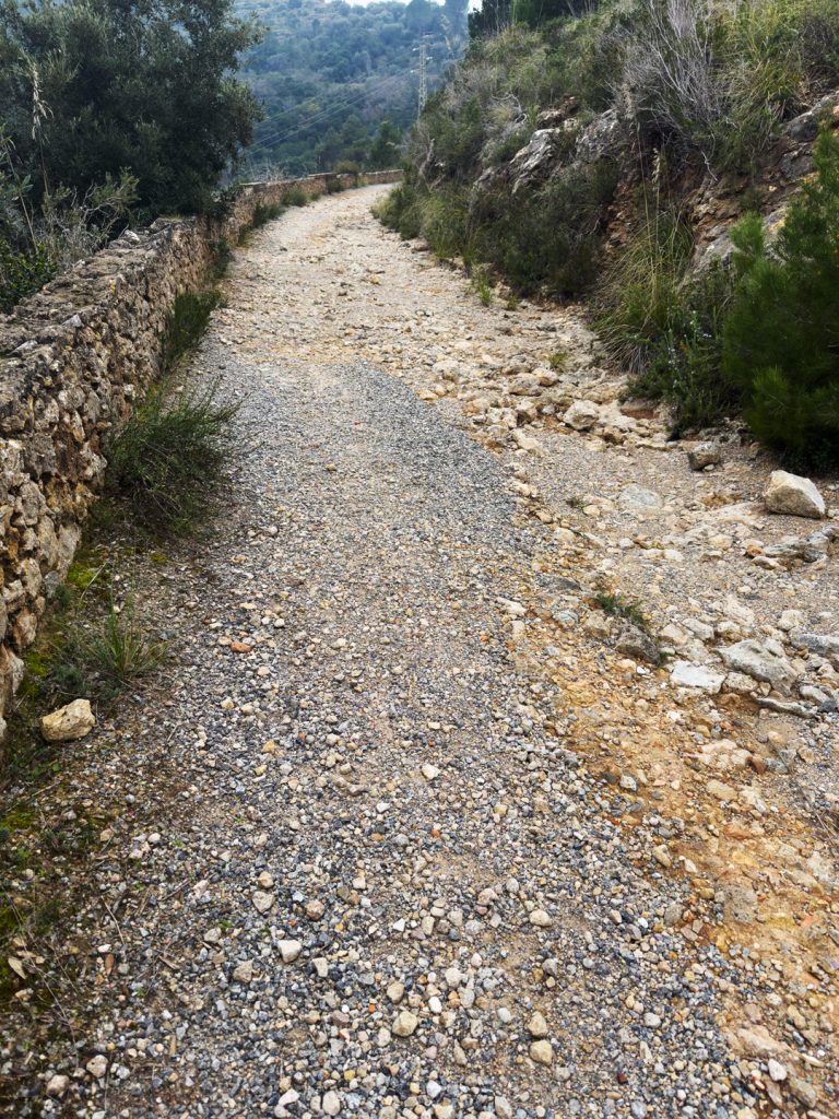
The Military Service Road
Climbing the historic dirt road
Following the right fork, the road turns into a dirt track and begins to climb, overlooking the Pozzarello valley. This route originated as military service road, used to transport materials and supplies to the defensive positions on the heights. With the decommissioning of the military structures in the 20th century, the road lost its strategic function and became a rural and hiking trail.
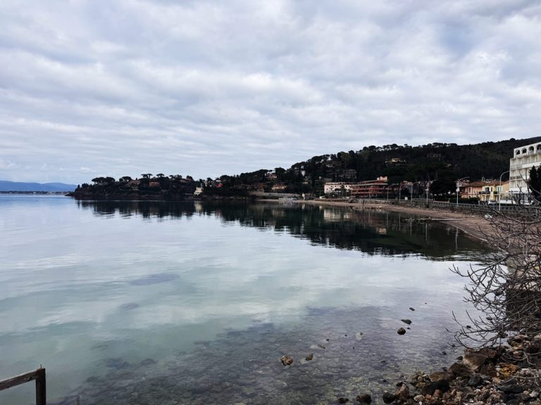
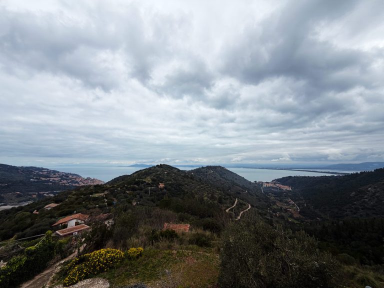
The gulf as far as the eye can see.
Passing through the “Punto dei Tre Mari”
Continuing on, you follow the ridge of the hill, from which the view opens up on both sides: on one side the open sea, on the other the port and shipyard area of Porto Santo Stefano. This vantage point is known as “Punto dei Tre Mari” (Point of the Three Seas), due to the breadth and variety of the views it offers.
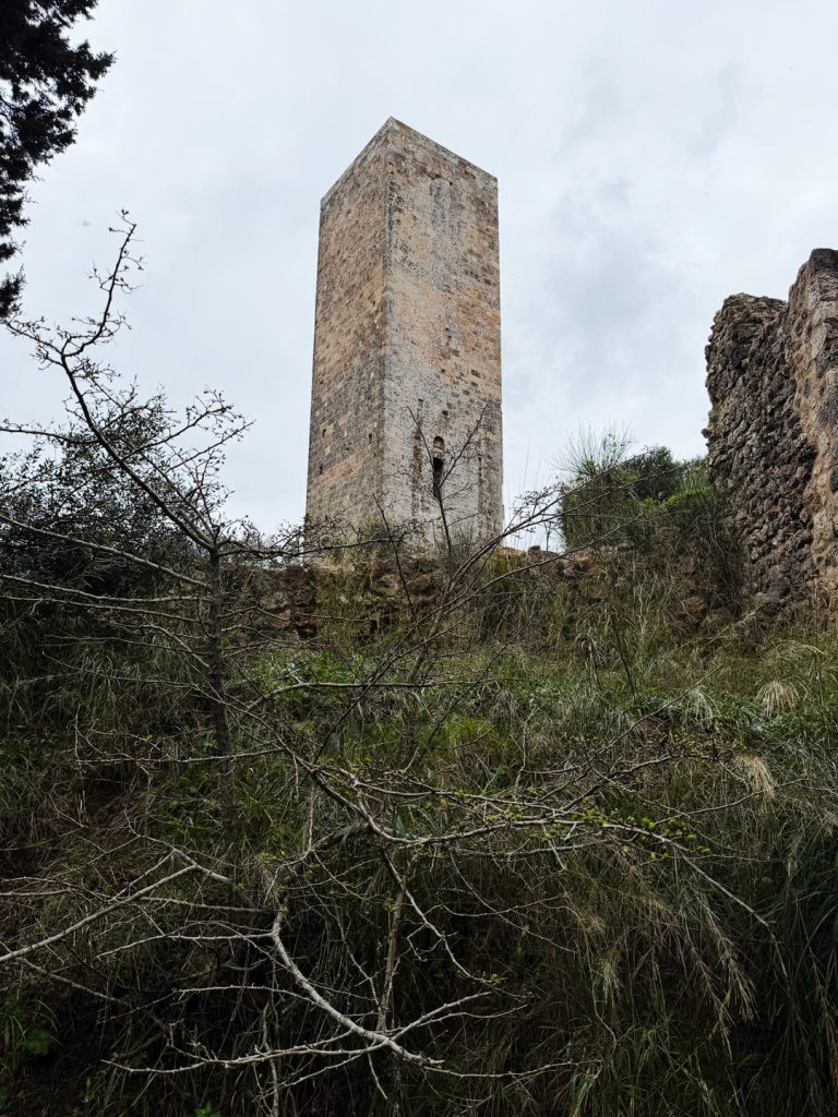
The oldest and most mysterious tower.
Arrival at the Argentiera Tower · Summit of the hill, 252 m above sea level
The final stretch of the trail gradually becomes steeper, winding through dirt paths, rocks, and tree roots, until it reaches the top of the hill where the Torre dell’Argentiera stands, a medieval tower located in the northern hinterland of Monte Argentario, which served as the keep of a small castle—the Castrum Argentaria —that remained active from the fall of the Roman Empire through the entire period of Sienese rule, when this part of the promontory was leased to adventurers engaged in the futile search for the legendary silver mines.
It has a square floor plan with sides measuring 5 meters and a height of approximately 20 meters. It features a single small opening located high up on the northeast side, which was accessed via a ladder that was retracted in case of danger.
In the second half of the 16th century, with the arrival of the Spanish, the fortification became a secondary lookout point due to its distance from the sea, to the extent that it is no longer mentioned in documents and maps from subsequent centuries.
Left in ruins and abandoned for centuries, the tower has recently undergone restoration and excavation work by the Superintendency, which has brought to light traces of the ancient medieval settlement: the city walls, a small church, a water cistern, and several residential structures.
From the summit, the view takes in Porto Santo Stefano and Pozzarello, stretching toward the mainland coast and, to the right, toward the Tombolo della Giannella and the Orbetello Lagoon. It is a place where the sea, history, and landscape merge into a single, sweeping vista that captures the very essence of Argentario.
The legend of the Tower of Argentiera, handed down by people of Sant’Stefano, tells of a mysterious Cgolden with with Pulcini, present in three versions.
In first, a knight and his his beloved die and the mother hen wanders among search search; in second, the RQueen Isabella hides hides with a treasure in tower.
The third simply simply of a hidden hidden in the vicinity of building.
Also today these stories continue to the fascination and the excavations of treasure, among mystery and tradition.
To provide the best possible experience, we use technologies such as cookies to store and/or access information on your device. By consenting to these technologies, we may process data such as your browsing behavior or unique identifiers on this site. Failure to consent or withdrawal of consent may adversely affect certain features.